Catalog Archive
Auction 175, Lot 407
"A New & Correct Map of the Netherlands, or Low Countries Drawn from the Best Authorities and Most Approved Modern Maps, the Whole Being Regulated by Astronl. Observatns.", Bowen, Emanuel
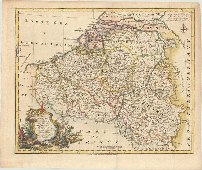
Subject: Low Countries
Period: 1751 (circa)
Publication: The History of England
Color: Hand Color
Size:
16.8 x 13.6 inches
42.7 x 34.5 cm
Download High Resolution Image
(or just click on image to launch the Zoom viewer)
(or just click on image to launch the Zoom viewer)