Catalog Archive
Auction 175, Lot 338

"A General Chart of the Sea Coast of Europe, Africa & America. According to E. Wrights or Mercator's Projection", Moll, Herman

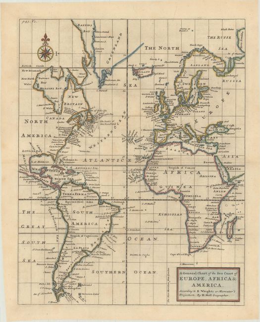
Subject: Atlantic Ocean

Period: 1720 (circa)

Publication:

Color: Hand Color

Size:
11.1 x 13.9 inches
28.2 x 35.3 cm
Download High Resolution Image
(or just click on image to launch the Zoom viewer)

Very unusual map centered on the Atlantic Ocean, but actually incorporating the North Sea and parts of both the Pacific and Indian Oceans. Depicts only the eastern part of North America, with the British colonies. Only place names along the coastlines are shown, and there is good detail of all of the islands in the oceans, including the erroneous Pepys Island off the coast of present-day Argentina. Nice compass rose with title in block form.

References:

Condition: B+

A crisp impression on a bright sheet with a previous owner's stamp in the south Atlantic Ocean that has been mostly removed.

Estimate: $200 - $230

Sold for: $150

Closed on 11/13/2019

Archived