Catalog Archive
Auction 175, Lot 247

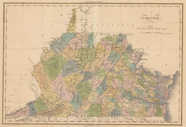
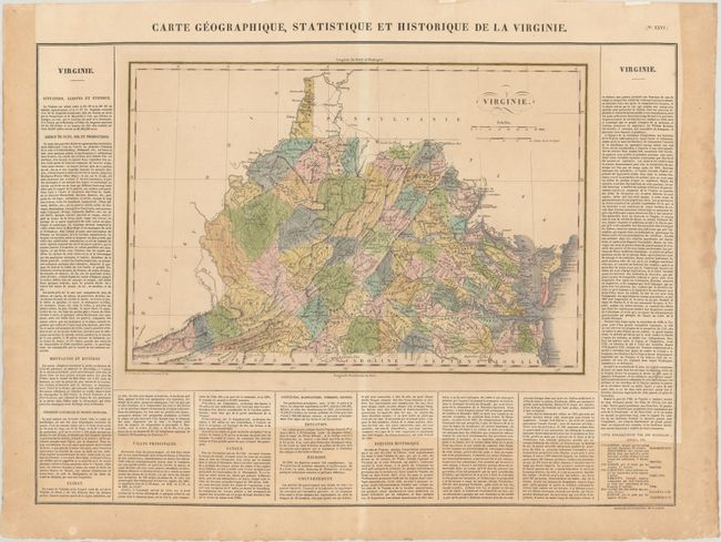
"Carte Geographique, Statistique et Historique de la Virginie", Buchon, Jean Alexandre

Subject: Virginia & West Virginia

Period: 1825 (published)

Publication: Atlas Geographique, Statistique, Historique ... des Deux Ameriques

Color: Hand Color

Size:
17.8 x 12.1 inches
45.2 x 30.7 cm
Download High Resolution Image
(or just click on image to launch the Zoom viewer)

This is the French edition of Carey & Lea's map of Virginia. It appears on a full sheet (27.7 x 20.7") with French text panels along the sides and bottom describing its history, geography, Indians, and more. Delineated by county, the map is filled with detail of cities and towns, wagon roads, drainage and topography. County development is current to 1820 with the addition of Morgan in the northern part of the state.

References: Phillips (Maps) p. 986.

Condition: B+

Light toning along the sides of the sheet and text at bottom from a previous framing. Remnants of hinge tape on verso.

Estimate: $220 - $250

Sold for: $150

Closed on 11/13/2019

Archived