Catalog Archive
Auction 175, Lot 246

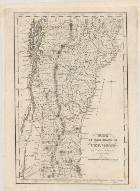
"Map of the State of Vermont", Thompson, Zadock
Subject: Vermont

Period: 1842 (published)

Publication: History of Vermont

Color: Black & White

Size:
7.3 x 11.2 inches
18.5 x 28.4 cm
Download High Resolution Image
(or just click on image to launch the Zoom viewer)

This county map of the state of Vermont gives great detail of roads, townships, lakes, and the river system. This is the first state of this map, which was republished in 1853 and 1854 with the addition of railroad lines. Engraved by J. H. Hills.

References:

Condition: A

An excellent impression, issued folding, on a clean, bright sheet.

Estimate: $160 - $190

Unsold

Closed on 11/13/2019

Archived