Catalog Archive
Auction 175, Lot 202

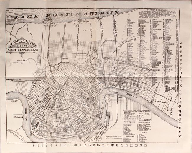
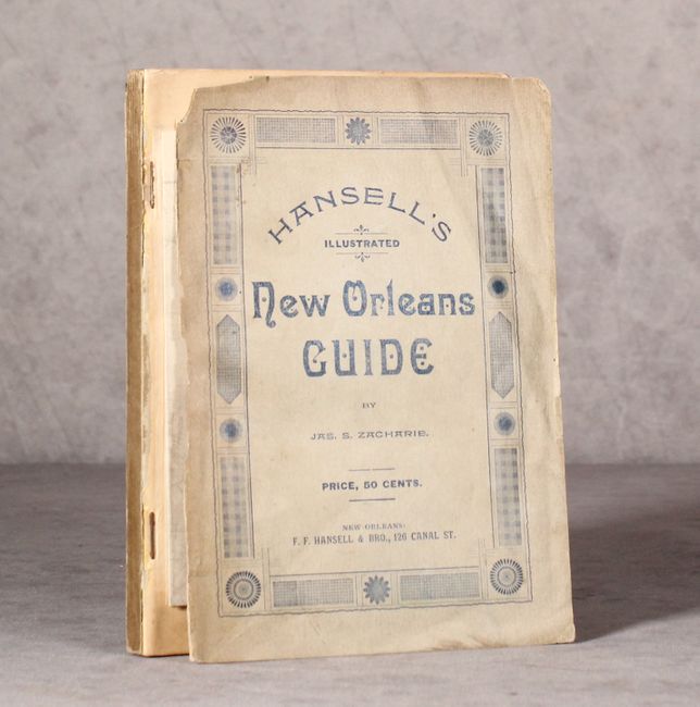
"Map of the City of New Orleans [bound in] New Orleans Guide, with Descriptions of the Routes to New Orleans...",

Subject: New Orleans, Louisiana

Period: 1893 (published)

Publication:

Color: Black & White

Size:
14.4 x 11.1 inches
36.6 x 28.2 cm
Download High Resolution Image
(or just click on image to launch the Zoom viewer)

This 159 page guide book intended for the traveler is filled with illustrations and useful text, including the "Outlines of the History of Louisiana" by James Zacharie. Bound at the front of the volume is the folding Map of the City of New Orleans that extends along the Mississippi River from Carrollton to Charmette. A numbered key at bottom locates points of interest for the traveler including public squares, cemeteries, public markets, hotels, and railroad depots. Published by F.F. Hansell & Brothers. Octavo, paper wrappers.

References:

Condition: B+

Folding map is near fine and the guide text is lightly toned. Paper wrappers have minor soiling and the front wrapper is detached.

Estimate: $160 - $190

Sold for: $120

Closed on 11/13/2019

Archived