Subject: San Diego, California
Period: 1910 (dated)
Publication:
Color: Black & White
Size:
18.8 x 26 inches
47.8 x 66 cm
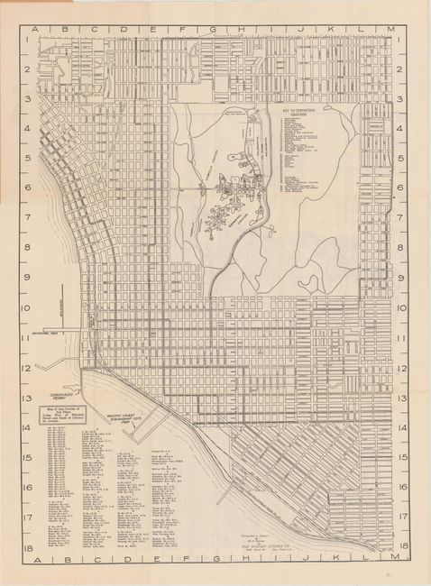
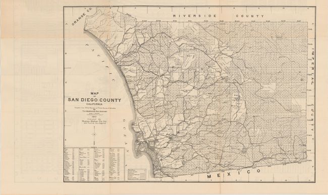
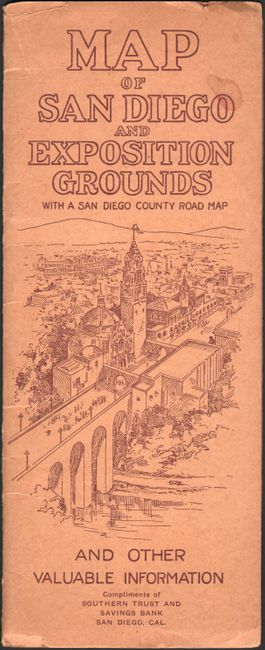
This street map of San Diego was compiled and drawn by The Rodney Stokes Co. and published compliments of the Southern Trust and Savings Bank. It covers the area west of 30th Street with the Exposition Grounds at center. Includes a numerical key to buildings on the Exposition Grounds and a street index at the bottom of the sheet. The verso contains a Map of San Diego County California (21.5 x 15.0") by T.A. Bedford and George Cromwell. Showing a largely rural county of around 62,000 residents, the map identifies ranch houses, flume lines, boulevards, and more. Folds into stiff paper wrappers showing the exposition grounds. No past sales records or institutional holdings on OCLC.
References:
Condition: A
A clean and bright example with a few tiny splits at the fold junctions. Minor wear to paper wrappers.