Subject: Bay Area, California
Period: 1928-29 (circa)
Publication:
Color: Printed Color
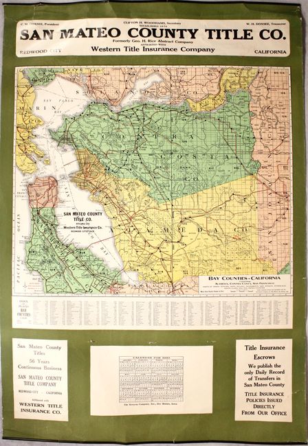
A. Bay Counties, California Comprising Alameda, Contra Costa, San Francisco Parts of Marin, Sonoma, Napa, Solano, Sacramento, San Joaquin, Stanislaus Santa Clara and San Mateo Counties, by the Kenyon Company, dated 1929 (22.0 x 20.7"). This advertising wall map shows excellent detail of the Bay Area including San Francisco, Oakland, and Palo Alto. Red overprinting reveals the growing "paved" and "secondary" road network. Surrounding the map are advertisements for the San Mateo County Title company and a calendar for 1930. The original metal holder at top is still present. Condition: The map image is clean and bright. There is a 6.5" edge tear at the top left corner of the sheet and a 2.5" edge tear at bottom right that have been closed on verso with archival tape. Three small holes are visible just above the calendar at bottom. (B+)
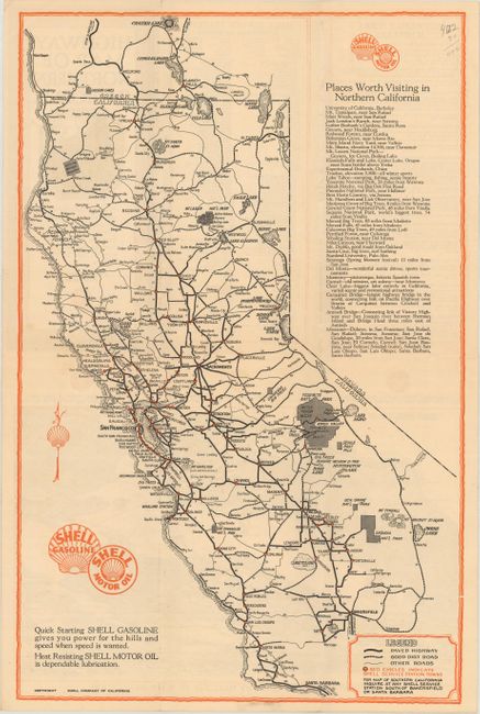
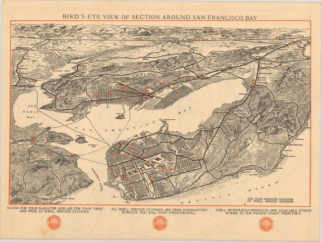
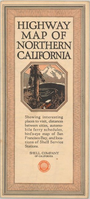
B. Highway Map of Northern California, by Shell Company, circa 1928 (11.4 x 17.7"). This map of the state has a legend identifying paved highways, "good" dirt roads, other roads, and red dots indicating Shell stations. Includes a table of "places worth visiting" in northern California. The verso contains an attractive half-page bird's-eye view of the San Francisco Bay region, showing the street grid pattern of both Oakland and San Francisco. Condition: (A)
References:
Condition:
See description above.