Catalog Archive
Auction 175, Lot 161

NO RESERVE

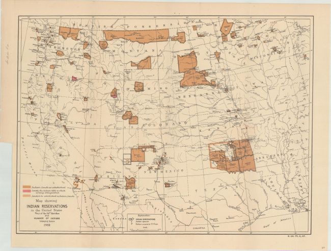
"Map Showing Indian Reservations in the United States West of the 84th Meridian and Number of Indians Belonging Thereto 1882", U.S. Bureau of Indian Affairs
Subject: Western United States

Period: 1882 (dated)

Publication: H.R. Ex. Doc. 77, 47th Congress, 2nd Session

Color: Printed Color

Size:
17.6 x 13 inches
44.7 x 33 cm
Download High Resolution Image
(or just click on image to launch the Zoom viewer)

This early Bureau of Indian Affairs map shows the status of Indian Reservations within the western United States as of 1882. It is precisely engraved to show existing, proposed, and "extinguished" Indian lands via color and line. The map also shows Indian agencies, Army outposts, towns, railroads, and the recently established Yellowstone National Park.

References:

Condition: A

Issued folding with a tiny binding tear confined to the left blank margin that has been closed on verso with archival tape.

Estimate: $70 - $90

Sold for: $230

Closed on 11/13/2019

Archived