Subject: References
Period: 1975 (published)
Publication:
Color: Printed Color
Size:
14.6 x 11.3 inches
37.1 x 28.7 cm
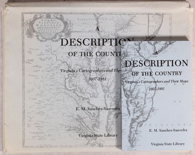
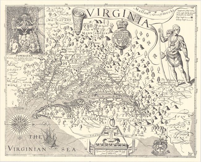
E.M. Sanchez-Saavedra wrote the accompanying text for this portfolio focusing on the cartographic history of Virginia. Published by the Virginia State Library, it includes facsimile reproductions of 9 maps on 20 sheets, 5 of which are in color. Among the maps are Captain John Smith's Virginia, the Fry-Jefferson map of 1775, and Captain Peter S. Michie's startlingly accurate manuscript survey of Richmond. According to the preface, "This portfolio is not intended to be a collection of cartographic museum pieces for decorative purposes; rather it attempts to show the evolutionary development of a vital branch of science." The maps are contained in a paper portfolio with an illustrated cover. The book (5.5 x 8.4") features in-depth essays on each map. Paperback, 130 pages.
References:
Condition: A
Maps are in very good condition with some very slight extraneous creasing. Contents and covers of the book are tight with some marginal manuscript notations in pencil. The portfolio is sunned with light shelf wears and short tears.