Catalog Archive
Auction 174, Lot 667

"Histoire-Sainte Depuis l'An 2981 Jusqu'a l'An 3000", Buy de Mornas, Claude
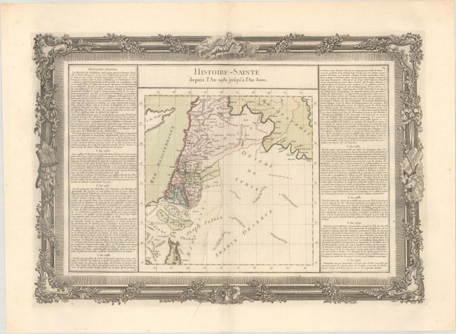
Subject: Holy Land

Period: 1761 (circa)

Publication: Atlas Methodique et Elementaire de Geographie et l'Histoire

Color: Hand Color

Size:
21.5 x 15.1 inches
54.6 x 38.4 cm
Download High Resolution Image
(or just click on image to launch the Zoom viewer)

This map of the Holy Land depicts the 12 tribes and is flanked by columns of French text describing the history of the area between 2982-92 BC. It is surrounded by a rococo-style border printed from a separate plate. The map appeared in Buy de Mornas' lavishly produced historical atlas, a three-volume set covering advances in cosmography, geology, astronomy, and oceanography and the history, geography, and cartography of the Ancient World.

References:

Condition: A

Contemporary color on a watermarked sheet with some minor spots.

Estimate: $100 - $130

Sold for: $65

Closed on 9/11/2019

Archived