Subject: Cartographic Miscellany, United States
Period: 1939 (dated)
Publication:
Color: Printed Color
Size:
8 x 4 inches
20.3 x 10.2 cm
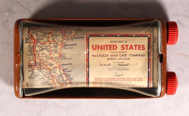
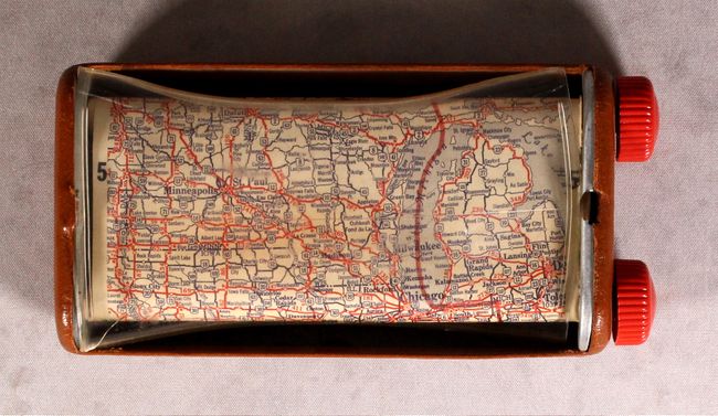
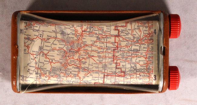
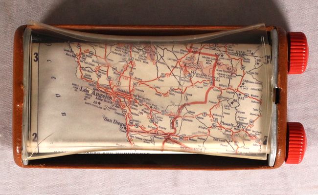
This unusual road map of the United States is presented in 4 "strip" segments based upon time zone (Eastern, Central, Mountain, and Pacific). It identifies paved, improved, graded, and dirt roads and includes a table of National Parks below the map image. The map is housed in a metal case with leather padding and a protective plastic shield. The user can scroll to any location on the map by turning the plastics knobs up or down on the right side of the case. Published by the H.M. Gousha Company for the McCauley Map Case Company. No past sales records and only two copies found on OCLC. A fascinating item.
References:
Condition: B+
The map itself has one area of light toning, otherwise fine. The plastic shield covering the map is warped and there is a small crack in one of the corners. In overall very good condition given its intended use.