Catalog Archive
Auction 174, Lot 573
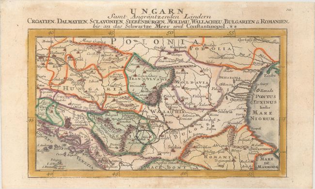
"Ungarn samt Angrantzenden Landern Croatien, Dalmatien, Sclavonien, Siebenburgen, Moldau, Wallacheu, Bulgarien u. Romanien...", Bodenehr, Gabriel

Subject: Northern Balkans
Period: 1704 (published)
Publication: Atlas Curieux
Color: Hand Color
Size:
10.2 x 5.9 inches
25.9 x 15 cm
Download High Resolution Image
(or just click on image to launch the Zoom viewer)
(or just click on image to launch the Zoom viewer)

