Subject: New York City, New York
Period: 1926 (published)
Publication:
Color: Black & White
Size:
18.3 x 9.5 inches
46.5 x 24.1 cm
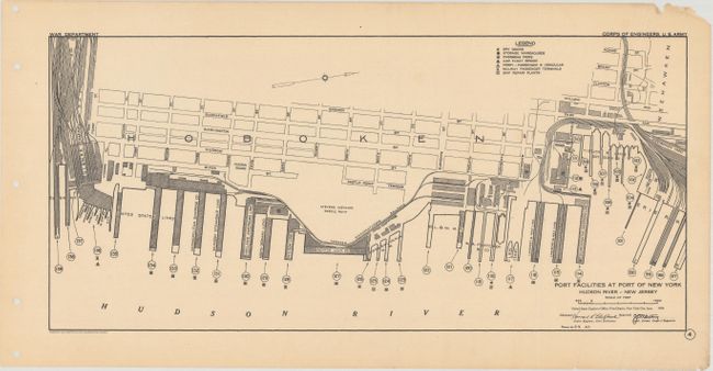
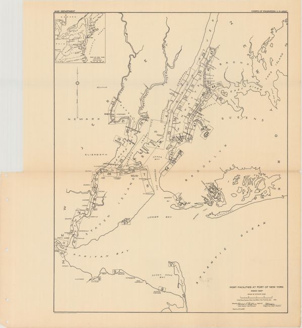
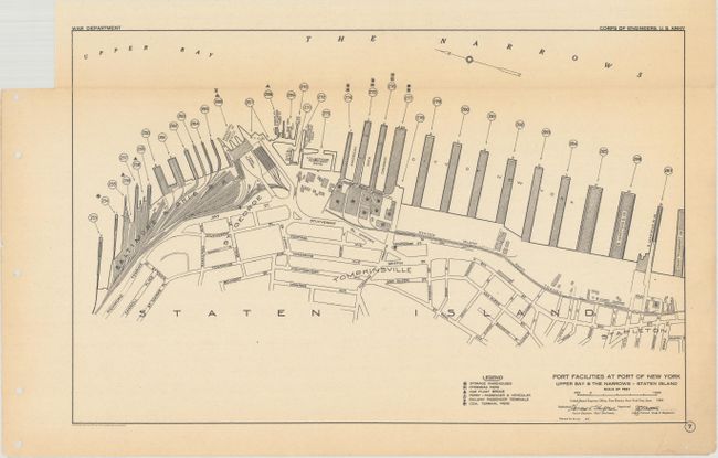
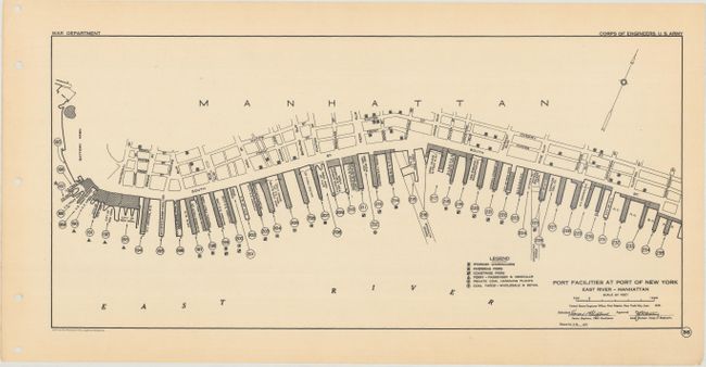
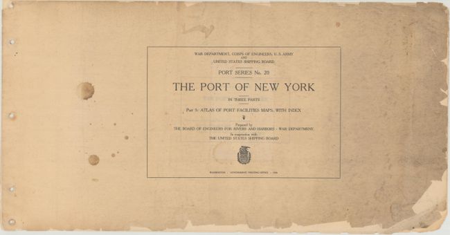
This atlas is the third part (of three) of a government report concerning the Port of New York. It contains an index map for port facilities in the broader region along with 56 (of 57) maps showing exhaustive detail of the specific ports along with ownership names. The maps extend from Sandy Hook and Newark, New Jersey to Staten Island, Brooklyn, and the Bronx, with most measuring 14.5 x 7.5" along with several larger folding maps. Includes a comprehensive 12 page listing of piers, wharves, and docks that are keyed to the maps for easy identification. Oblong folio, paper wrappers. No auction records or dealer listings in the last 30 years.
References:
Condition: B+
The maps are mostly very good to near fine on clean sheets. A few of the maps have small fold separations that have been repaired with old tape, and map #6 (Upper Bay - New Jersey) has been severed in half along the middle fold. Fully disbound with light soiling and some chips to the front wrapper. Rear wrapper missing.