Subject: New Haven, Connecticut
Period: 1872-73 (circa)
Publication:
Color:
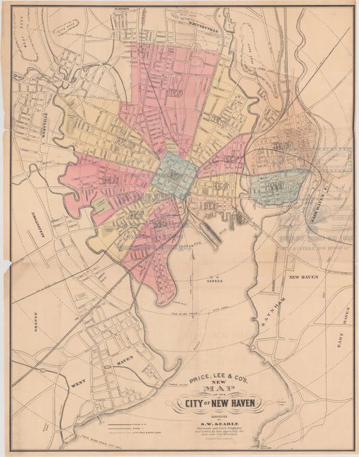
A. Price, Lee & Co's. New Map of the City of New Haven, by S.W. Searle, circa 1873, hand color (21.9 x 28.1"). This handsome pocket map shows New Haven, Connecticut. It details roads, railroads, and rivers, and the boundaries of the various wards are shown in different colors. The map delineates horse railroads, a novel type of public transportation with streetcars pulled by horses along tracks. Yale University's main campus is shown. The map also features concentric circles representing specific distances from City Hall. Condition: Issued folding with show-through of text on verso at right and several tears and fold separations that have been closed on verso with archival tape. There is a chip at left with a small portion of the neatline missing.
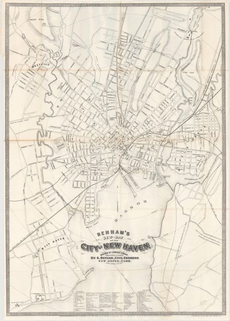
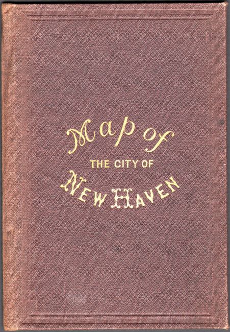
B. Benham's New Map of the City of New Haven, by Edward Lyman, dated 1872, black & white (18.4 x 26.0"). This detailed pocket map of New Haven was drawn by Lyman from S. Butler's surveys. It features a key identifying 102 locations of note, including churches, Yale buildings, banks, hotels, and more. Lithography by Punderson and Crisand. The map is detached from its original brown cloth covers, which are included with the lot. Condition: Issued folding with minor toning along a few folds and several fold separations and a binding tear, nearly all of which have been closed on verso with archival tape.
References:
Condition: B+
See description above.