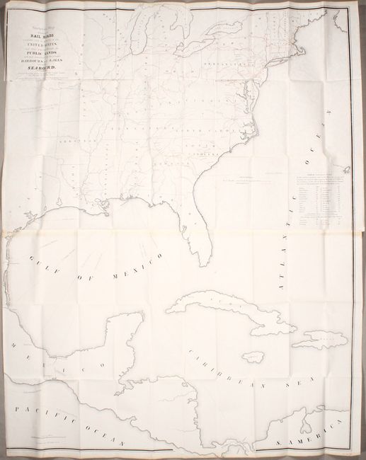
Subject: Eastern North America & West Indies
Period: 1849 (dated)
Publication: 31st Congress, 9th Session
Color: Printed Color
Size:
36.1 x 46.4 inches
91.7 x 117.9 cm
This map is nearly identical to a slightly earlier government-issued map from 1847 which Modelski describes as "one of the earliest small-scale government maps to show a railroad network" (Modelski #11). It covers the eastern United States, eastern Mexico, Central America, and the Greater Antilles and depicts both completed and proposed railroads within the United States. In addition to railroads, shipping routes radiate from Pensacola to various destinations including Galveston, Vera Cruz, Chagres and Havana demonstrating that city's favorable position to important ports. Printed on two sheets and joined. The map was issued to accompany a report by Sidney Breese "for granting Land to the State of Illinois to aide in the completion of her Rail Roads."
References: Modelski (United States) #13.
Condition: B
Issued folding on a bright sheet with a few spots of foxing and some light toning on recto from the adhesive used to join the two sheets together. Trimmed to just inside the border at left with a 2" edge tear just below the title.


