Subject: World
Period: 1700 (circa)
Publication:
Color: Hand Color
Size:
13.4 x 9.9 inches
34 x 25.1 cm
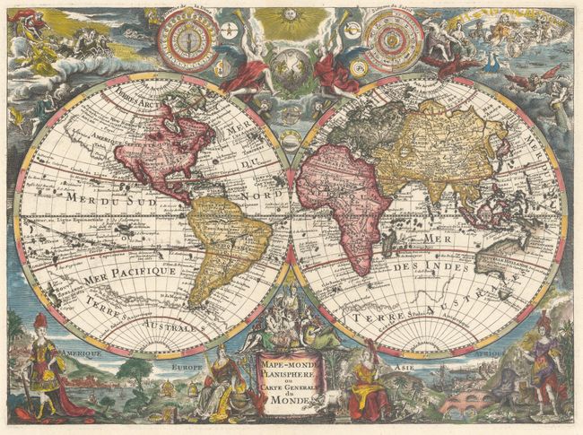
This is the first state of this uncommon French map that is filled with both geographic information and decorative elements. In fact, the density and intricacy of decorative images surrounding the map is astounding, particularly considering the smaller size of the map. At bottom are female representations of the four continents, including much more civilized and modest versions of America and Africa, who are typically depicted partially unclothed and a bit savage. These figures are surrounded by vignettes alluding to trade, learning, industry and culture. At top are spherical diagrams depicting the phases of the moon and seasonal periods of the sun, as well as smaller spheres for the five known planets. The top corners are filled with images of Helios, God of the sun, in his horse-drawn chariot, and Zeus and Hera ruling the heavenly realm. The image of Zeus and Hera is copied from Frederick de Wit's world map of 1668, although the other embellishments appear to have different sources.
Cartographically the map draws upon the work of both Sanson and Delisle. Some attributes follow Delisle's world map of 1700, such as California in a peninsular form, Australia attached to New Guinea (a common error among French cartographers at the time), Hokkaido attached to the mainland northeast of Korea, and a conjectural Terre de la Compagnie in the north Pacific. However the cartographer also perpetuates the depiction of conjectural coastlines extending the northwest coast of North America towards Asia, and the appearance of the great southern continent, Terres Australes, as seen on Sanson's world map of 1652.
Although there is no imprint or engraver's signature on the map, the Luso-Brasileira Library (a digital partnership between the national libraries of Brazil and Portugal) attributes this map to French engraver Charles Inselin, however we have not found any additional information to support this. This map is quite rare, and this is the first time this map has been listed with Old World Auctions.
References: Shirley #613.
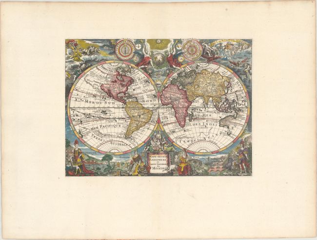
Condition: A+
A crisp impression on a bright, wide-margined sheet with a bunch of grapes watermark and minor marginal soiling.