Catalog Archive
Auction 173, Lot 163

"Official Automobile Highway and Route Map of Texas S.W. Arkansas, S. Oklahoma and E. New Mexico",
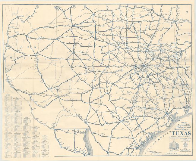
Subject: Texas

Period: 1920 (circa)

Publication:

Color: Printed Color

Size:
39.2 x 32 inches
99.6 x 81.3 cm
Download High Resolution Image
(or just click on image to launch the Zoom viewer)

This large automobile map was issued by the Automobile Club of Texas and compiled by Jarrell & Willett. It covers the entire state including portions of New Mexico, Oklahoma, and Arkansas. 28 detailed driving routes are shown in a table at lower left and the routes are numbered on the map (like a highway number). The circa date of 1920 is based upon news in the April 27, 1922 issue of the Baylor County Banner that reported the Southwestern Highway and Motor League “was formed to take the place of the Automobile Club of Texas." No other copies of this map have been located in OCLC or elsewhere.

Before and after the establishment of the Texas Highway Commission in 1917, there was competition among the various automobile associations for designation of tour routes and highway numbers. For an exhaustive history of road development in Texas, click here.

References:

Condition: B+

Issued folding on a bright sheet with several short splits at fold intersections with two areas of small loss along the lower fold. There is some light printer's ink residue at top left.

Estimate: $180 - $220

Sold for: $325

Closed on 6/5/2019

Archived