Catalog Archive
Auction 173, Lot 159

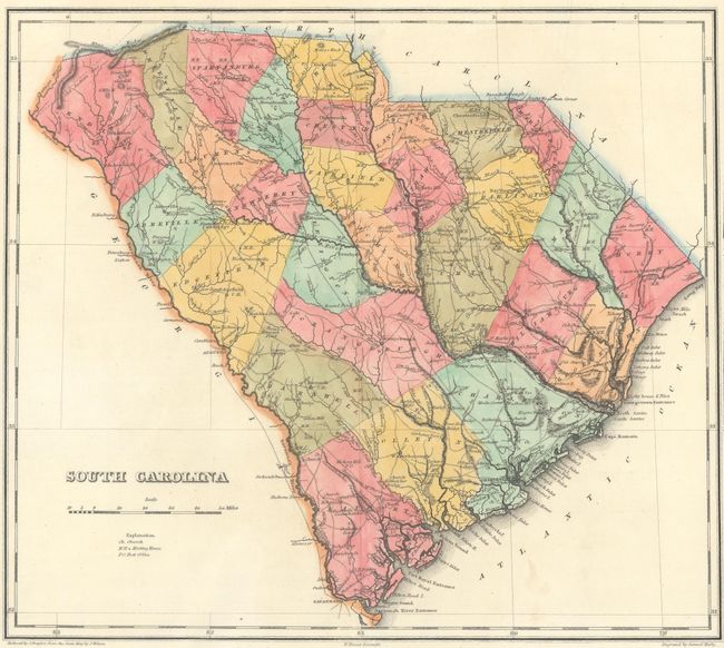
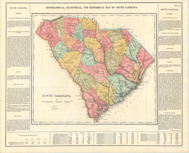
"Geographical, Statistical, and Historical Map of South Carolina", Carey & Lea

Subject: South Carolina

Period: 1822 (published)

Publication: A Complete Historical, Chronological, and Geographical American Atlas

Color: Hand Color

Size:
14.5 x 12.8 inches
36.8 x 32.5 cm
Download High Resolution Image
(or just click on image to launch the Zoom viewer)

This finely engraved map is on a full folio sheet (21.6 x 17.6") surrounded by English text giving a brief description of the state’s boundaries, rivers, climate, chief towns, government, and history. The map delineates rivers, roads, towns, and counties with numerous flags dotting the state indicating Revolutionary War battle sites. Based upon the first official map of South Carolina by John Wilson. Engraved by Samuel Hufty.

References:

Condition: A

A nice impression on a bright sheet with a few spots and two archivally repaired edge tears at top that just enter the map border.

Estimate: $350 - $425

Sold for: $220

Closed on 6/5/2019

Archived