Catalog Archive
Auction 172, Lot 379

"Nieuwe Kaart van Europa na de Alderlaatste Ondekking int Licht Gebracht", Tirion, Isaac
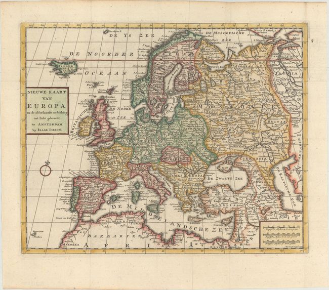
Subject: Europe

Period: 1733 (dated)

Publication: Nieuwe en Beknopte Hand Atlas

Color: Hand Color

Size:
13.7 x 11.1 inches
34.8 x 28.2 cm
Download High Resolution Image
(or just click on image to launch the Zoom viewer)

A crisply engraved map of Europe extending to include Iceland and a portion of the adjacent parts of Africa and Asia. The map is well-detailed with nice depictions of countries, towns, and rivers. Engraved by J. Keyser with his imprint in the scales cartouche.

References:

Condition: A+

A crisp impression, issued folding on a bright sheet with minor toning along the top edge of the sheet.

Estimate: $200 - $230

Sold for: $200

Closed on 4/17/2019

Archived