Catalog Archive
Auction 172, Lot 271

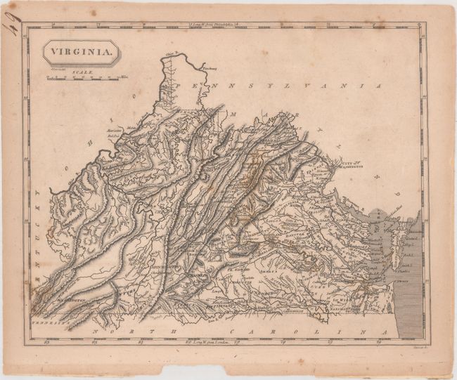
"Virginia", Arrowsmith & Lewis
Subject: Virginia

Period: 1812 (circa)

Publication: A New and Elegant General Atlas

Color: Black & White

Size:
9.9 x 7.9 inches
25.1 x 20.1 cm
Download High Resolution Image
(or just click on image to launch the Zoom viewer)

This map of Virginia and present-day West Virginia shows good detail of the topography and wagon roads in the state, with the mileage between towns noted. Counties are named but not delineated, and key cities are also named including Washington, Richmond, and Charlotteville. The state's western boundary erroneously follows the western fork of the Big Sandy River instead of the eastern, and the former Northwest Territory is now Ohio. Engraved by Tanner.

References: Wooldridge #180.

Condition: B+

Scattered foxing with a small chip confined to the lower blank margin.

Estimate: $160 - $190

Sold for: $120

Closed on 4/17/2019

Archived