Subject: Massachusetts
Period: 1871 (dated)
Publication:
Color: Hand Color
Size:
13.4 x 17.5 inches
34 x 44.5 cm
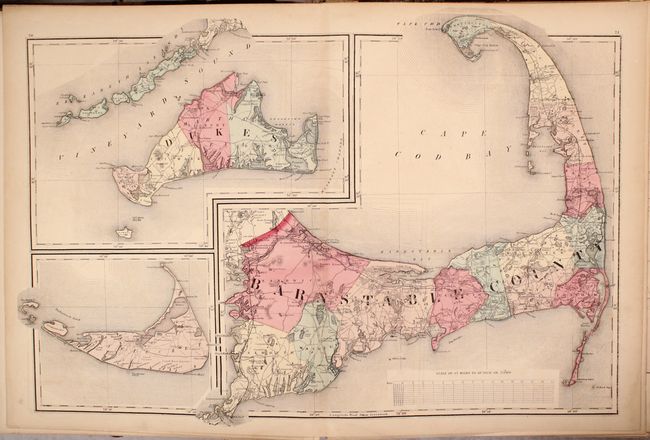
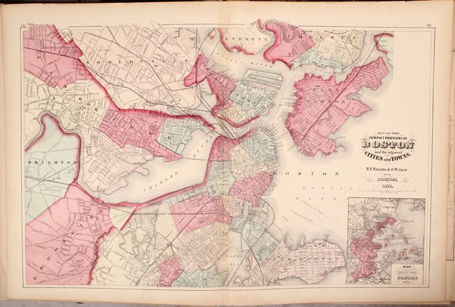
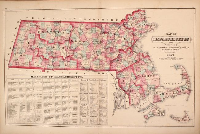
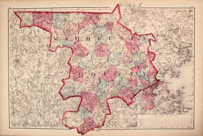
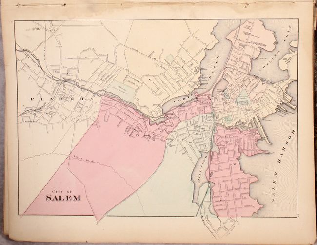
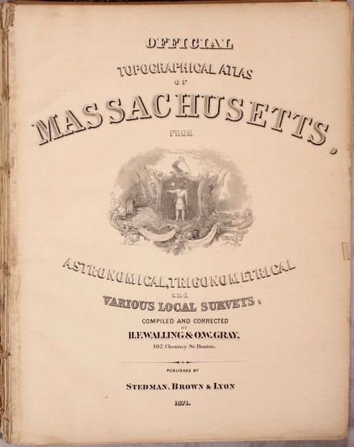
This is the complete, larger edition of this atlas containing 12 double-page maps and 12 single-page city maps at the rear of the volume. Of particular interest is the untitled double-page map of Cape Cod, Nantucket, and Martha's Vineyard as well as nice maps of the United States, New England, Massachusetts, and Boston. Also includes a reduced version of Hitchcock's Geological Map of Massachusetts and Blodget's Climatological Map of Massachusetts within the text. Illustrative title page, table of contents, 100 pages of text/maps, population tables, lists of towns, and principal businesses in Boston. Published by Stedman, Brown & Lyon.
References: cf. Phillips (A) #1800.
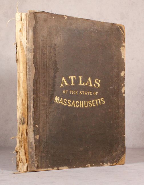
Condition: B
Condition code is for the maps which have light toning, minor offsetting, and occasional foxing. There are some dampstains mostly confined to the blank margins of the city maps at the rear of the atlas. Disbound with many of the sheets loose from the text block. Covers are present but heavily worn.