Subject: Maine
Period: 1905 (dated)
Publication:
Color: Printed Color
Size:
30.5 x 20.4 inches
77.5 x 51.8 cm
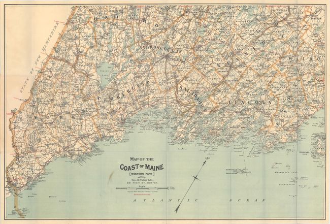
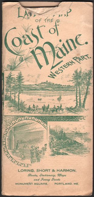
This is an extremely early automobile road map that shows the 'Best Routes' in red overprinting. The map shows the coast from Kittery north to above Rockport, and extends north to show the towns of Sweden, Paris, Fairfield, etc. The map details a surprising number of routes for the newly mobile horseless carriage owners. The map is copyrighted 1893 and 1905; updated to show the automobile routes instead of cycle routs. Folds into pictorial paper covers featuring images of the region. A list of over 120 maps available from the company begins on the inside front cover and extends to the back cover . The list includes city plans, pocket railroad maps, bird's-eye views, and road maps. This map is shown with a price of $0.25.
The automobile was first manufactured in the United States by the Duryea Motor Wagon Company in 1893, and by 1901 Oldsmobile produced 425 automobiles. The Ford Motor Company, which was organized in June 1903, produced 1,700 cars during its first full year of business. The existing bicycle and railroad maps did not serve well for this new form of transportation, and maps were needed to identify roads suitable for automobiles -- roads with adequate gravel, bridges, gasoline and repair shops. The American Automobile Association produced the first maps specifically for automobiles in 1905 and the George H. Walker Co. (aka Walker Lith. & Pub. Co.) quickly followed suit.
References:
Condition: B+
The map has small stain adjacent to the title and some tiny splits at fold intersections. The paper wrappers are lightly soiled with a chip at top.