Catalog Archive
Auction 172, Lot 227

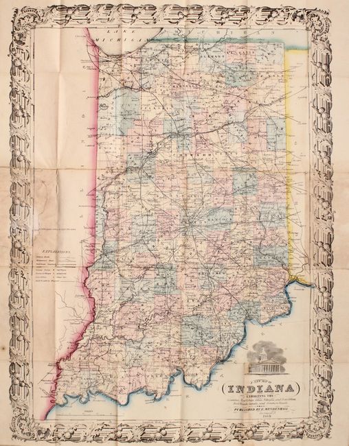
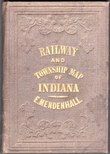
"A New Map of Indiana Exhibiting the Counties, Townships, Cities, Villages, and Post Offices. Rail Roads, Canals, and Common Roads", Mendenhall, Edward

Subject: Indiana

Period: 1869 (dated)

Publication:

Color: Hand Color

Size:
15.2 x 20.6 inches
38.6 x 52.3 cm
Download High Resolution Image
(or just click on image to launch the Zoom viewer)

An attractive, uncommon map of the state showing counties, roads, railroads, canals and post offices. The National Road is prominently shown crossing through the middle of the state from Richmond to Indianapolis and Terre Haute. Surrounded by a decorative border and vignette of the capitol building. Folds into brown cloth-covered boards with gilt tile on front cover (3.7 x 5.2").

References:

Condition: B

Issued folding with light staining primarily where the map folds into its covers. A series of small tears near where the map was glued to the rear board have been closed with archival material. Coves are very good.

Estimate: $200 - $230

Sold for: $140

Closed on 4/17/2019

Archived