Catalog Archive
Auction 172, Lot 223

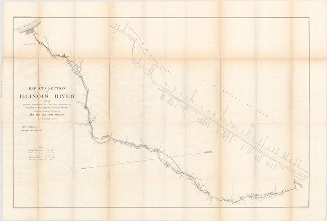
"Map and Section of Illinois River Showing Proposed Improvement by Canal and Slackwater for Connecting the Mississippi River and Lake Michigan...", U.S. Corps of Engineers

Subject: Central Illinois, Chicago

Period: 1867 (dated)

Publication: H.R. Ex. Doc. 16, 40th Congress, 1st Session

Color: Black & White

Size:
40.1 x 26 inches
101.9 x 66 cm
Download High Resolution Image
(or just click on image to launch the Zoom viewer)

This map accompanied General J.H. WIlson's report on the Illinois River. It covers the region from Lake Michigan to the Mississippi River along the Illinois River with Chicago presented as a grid at top. Adjacent to the path of the river is a rendering of the Illinois & Michigan Canal showing water depths. Wilson was tasked with quantifying necessary improvements to allow for large boats to pass from Lake Michigan to the Mississippi River during times of low water.

References:

Condition: B+

Issued folding with light toning along the fold lines and a few tiny splits at fold intersections.

Estimate: $100 - $130

Sold for: $75

Closed on 4/17/2019

Archived