Subject: Northern California, Palo Alto
Period: 1940 (circa)
Publication:
Color: Printed Color
Size:
21.9 x 16.9 inches
55.6 x 42.9 cm
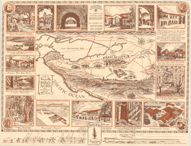
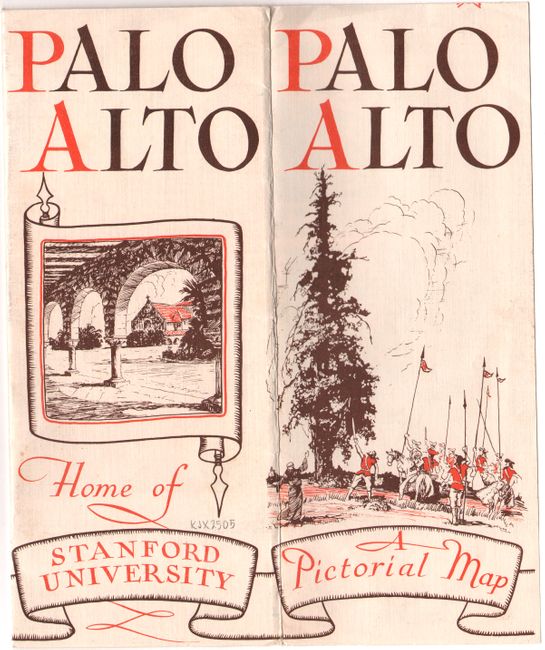
This pictorial map of the San Francisco Bay area covers the region from Santa Clara and Palo Alto north to San Francisco and Oakland. Stanford University is prominently depicted below Palo Alto and local attractions surround the map image. The map is drawn in a similar style as the "Ride the Roads to Romance" series and contains the portraits of Father Junipero Serra, Father Pedro Font, Comandante Don Gaspar de Portola, and Colonel Juan Bautista de Anza in the corners. The verso contains promotional text related to Palo Alto. Drawn by Arthur Lites for the Palo Alto Chamber of Commerce.
References:
Condition: A
A near fine example with a few minor abrasions along the fold lines. Issued folding.