Subject: References
Period: 1980-92 (published)
Publication:
Color:
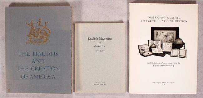
A. The Italians and the Creation of America - An Exhibition at the John Carter Brown Library, by Samuel J. Hough, published 1980, printed color (9.0 x 11.8"). This is an exhibition catalog compiled by Samuel J. Hough. The exhibition traces the rebirth of the science of geography in the Renaissance; the voyages of the great Italian explorers; and the role of the Italian cartographers and printers. Drawing on the superb resources of the John Carter Brown Library, the show includes books, prints, maps, and other ephemera. 83 pp., 2 color plates and 29 monochrome illustrations. Paperback. Condition: Contents are very good. There is sunning and minor wear on the covers and spine, and a small stain on the front cover. (B+)
B. English Mapping of America 1675-1715 - An Informal Selection of Printed and Manuscript Maps Produced During the Formative Years of English Mapping, by the Mercator Society, published 1986, black & white (9.5 x 6.8"). This is the first publication from the New York Public Library's Mercator Society. 22 important English maps of America are illustrated and described, including works by Seller, Blome, Wells, Thornton, and Moll. Gray paper wrappers. Condition: Contents and covers are very good with minor sunning along the spine. (A)
C. Maps, Charts, Globes: Five Centuries of Exploration - A New Edition of E.L. Stevenson's Portolan Charts and Catalogue of the 1992 Exhibition, by Sandra Sider, published 1992, printed color (9.3 x 12.3"). This terrific reference from the Hispanic Society of America is both an updated, expanded edition of E.L. Stevenson's 1911 work Portolan Charts and a catalogue of the Hispanic Society's 1992 exhibition of maps, charts, and globes to commemorate the 500th anniversary of Christopher Columbus' expedition. With 73 illustrations, a number of them in full color. Hardbound, dust jacket, 128 pp., index. Condition: Contents and covers are near fine. Dust jacket has minor sunning and soiling. (A)
References:
Condition:
See description above.