Subject: References
Period: 1968-70 (published)
Publication:
Color: Printed Color
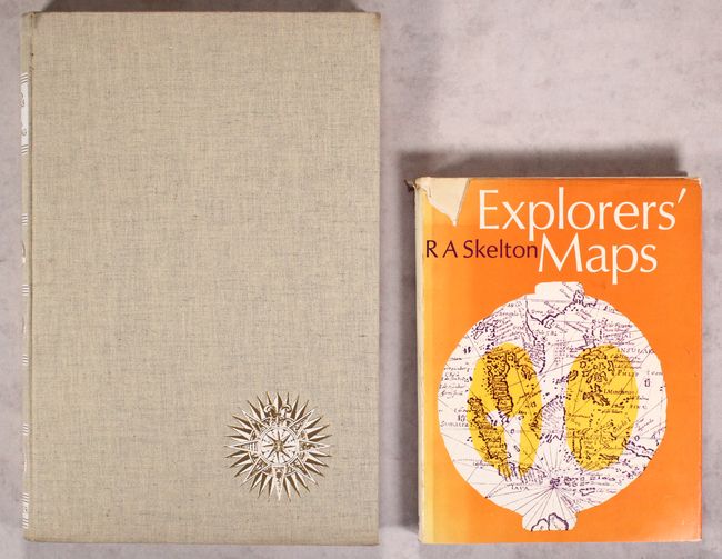
A. Landmarks of Mapmaking - An Illustrated Survey of Maps and Mapmakers, by R.V. Tooley, published 1968 (10.9 x 16.4"). Charles Bricker wrote this beautifully produced and well-illustrated cartographic reference. It covers the exploration and mapping of Europe, Asia, Africa, the Americas, and Australia. The preface is by Gerald Roe Crone, and the maps were chosen by R. V. Tooley. Comprised of 276 pp., over 350 illustrations, including maps, portraits, title pages, and reproductions from early sources, 14 color folding maps, other color illustrations, bibliography, and index. Folio, hardbound in linen cloth, gilt lettering, gilt and white compass rose on front cover. Condition: Contents are good with minor soiling, foxing, and toning mostly confined to the very edge of the pages. Covers have very minor soiling. (B+)
B. Explorers' Maps - Chapters in the Cartographic Record of Geographical Discovery, by RA Skelton, published 1970 (8.8 x 11.3"). This reference focuses on European exploration and traces the progress of cartography from the maps and charts of medieval travelers to the more scientific mapping of the 18th and 19th centuries. 337 pp., with 219 illustrations. Hard bound in white cloth with illustrated dust jacket. Second edition. Condition: Contents are somewhat loose with minor toning along page edges. Covers are sunned along edges with minor soiling. Dust jacket is chipped, sunned, and soiled. (B)
References:
Condition:
See description above.