Subject: Atlases
Period: 1877 (published)
Publication:
Color: Printed Color
Size:
10.9 x 14.3 inches
27.7 x 36.3 cm
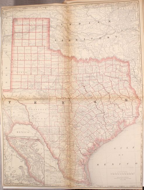
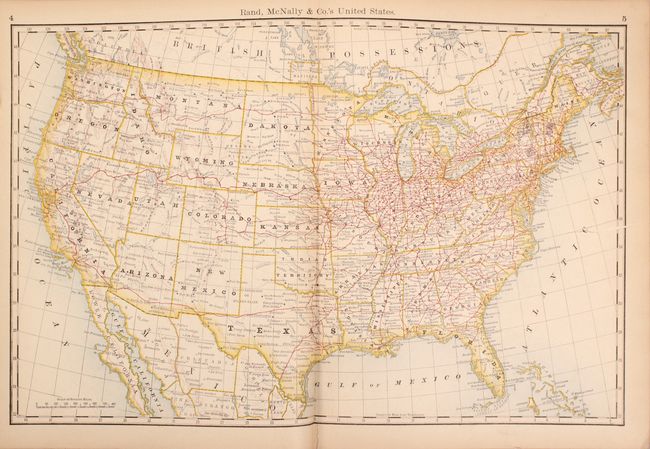
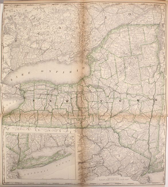
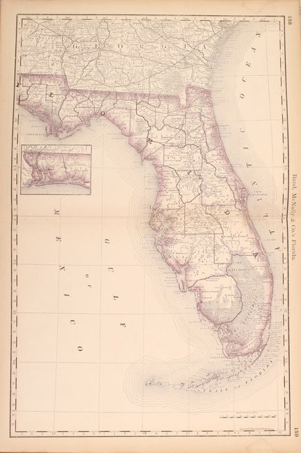
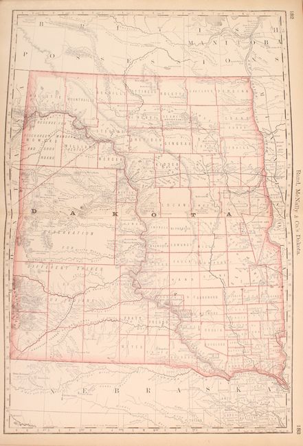
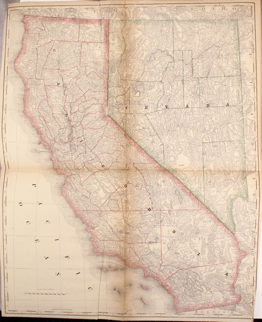
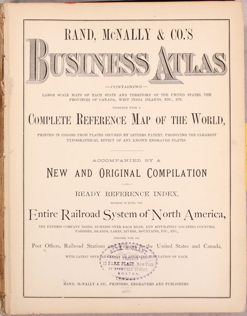
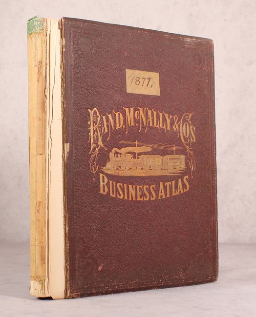
This is Rand McNally's rare second edition atlas, preceded only by an atlas of the Pacific Slope issued late in 1876. It contains a total of 22 double-page, 21-single page, and 3 folding maps focused on the United States & Canada. The state/territory maps are delineated by county and detail the extensive railroad network. Each is supplemented by a comprehensive index. Of particular interest are the large, linen-backed folding maps of New York, California/Nevada, and Texas. There are no price records for the map of Texas (dated 1876), and it is likely the earliest map of the state by Rand McNally. 212 pages but actually longer as the atlas includes some odd pagination including 54 ¾ and 126 ½, indicating a work in progress. The front pastedown includes a complete list of Rand McNally map publications, including a description of this atlas priced at the princely sum of $12.00 (about $280 in today's dollars). Folio, hardbound in maroon cloth with gilt title and illustration on the front cover. Published in 1877 but copyrighted in 1876.
References:
Condition: B
The maps are good to very good with uniform toning. The linen-backed folding maps have toning along the fold lines. The map of the United States (with Alaska on the verso right sheet) has an edge tear at right extending 2" into the image. The front endpapers are loose and the first signature containing the title page and part of the railroad index has almost separated. The front board is detached, both boards are worn, and the spine label is missing.


