Subject: Atlases
Period: 1876 (published)
Publication:
Color: Hand Color
Size:
17 x 22.1 inches
43.2 x 56.1 cm
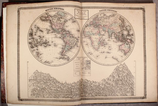
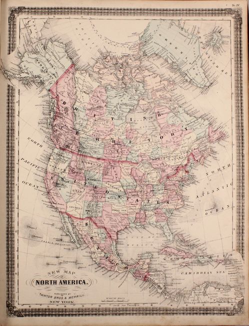
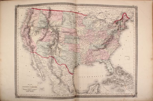
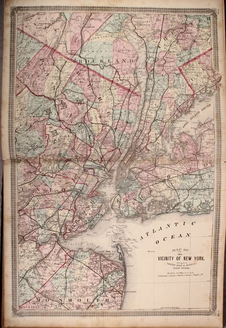
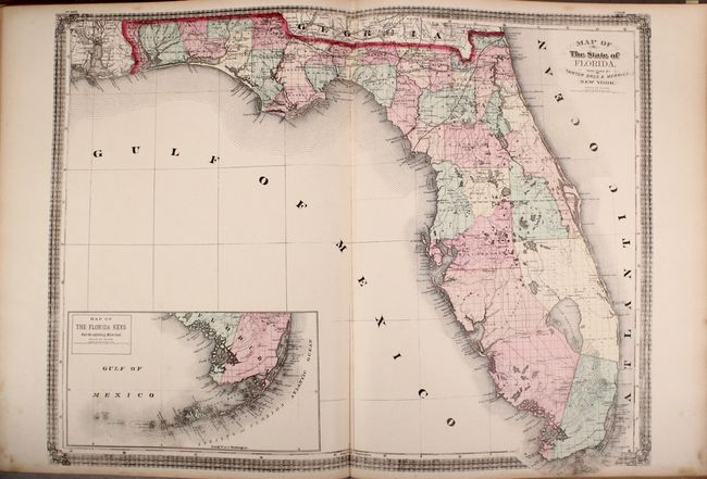
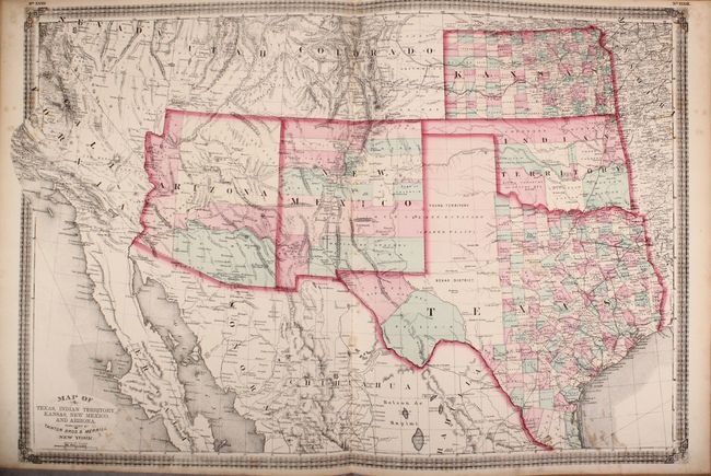
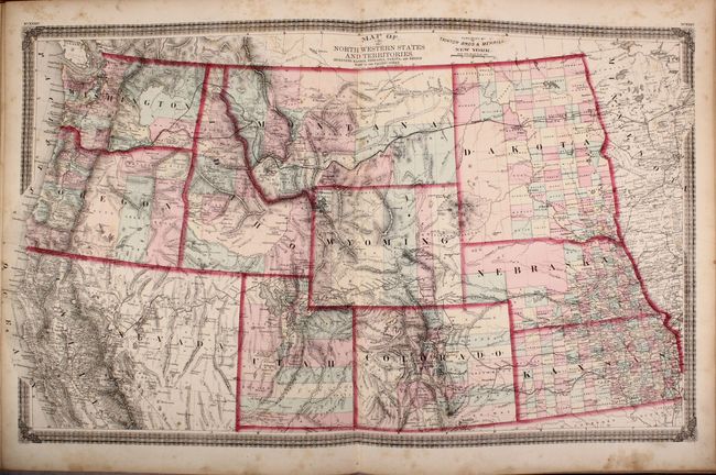
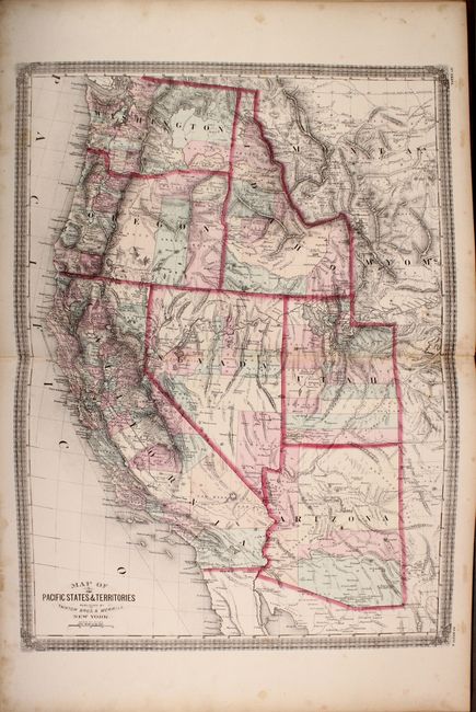
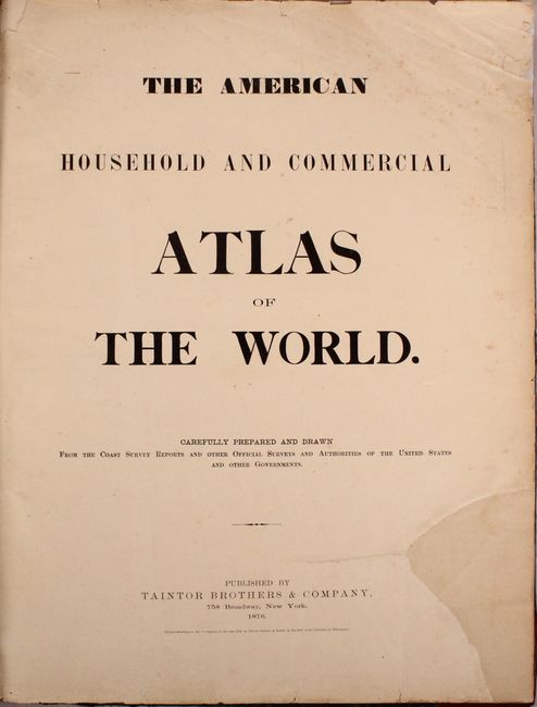
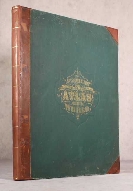
This rare atlas includes 38 total maps, consisting of 21 double-page and 17 single-page maps. The atlas has a heavy emphasis on the United States and includes maps of the world (2), North America (29), South America (1), Europe (2), Asia (2), Africa (1), and Oceania (1). Included are nice depictions of the vicinity of New York City, a detailed map of Texas and the Southwest, and 2 maps of the western United States. The Northwestern States and Territories extends from the Dakotas and Kansas west to the Pacific Ocean. The newly established Yellowstone National Park is shown in northwestern Wyoming, and the proposed route of the Northern Pacific Railroad is prominently depicted from Bismarck to the Columbia River. The map of North America shows the completed Union Pacific Railroad as well as an early representation of Alaska Territory, which was purchased from Russia in 1867. The double-hemisphere world map is completed by a nice visual of comparative heights of the principal mountains of the world. Elephant folio, hardbound in faux-leather with tips over original green cloth-covered boards with gilt title on front cover. Published by Taintor Brothers & Company at 758 Broadway Street in New York.
References:
Condition: B+
The maps are good to very good with light toning and scattered foxing. There is a large chip in the lower right corner of the title page (an unengraved section) that has been replaced with old paper. Rebound with original covers which have average wear and staining.