Subject: Atlases
Period: 1865 (dated)
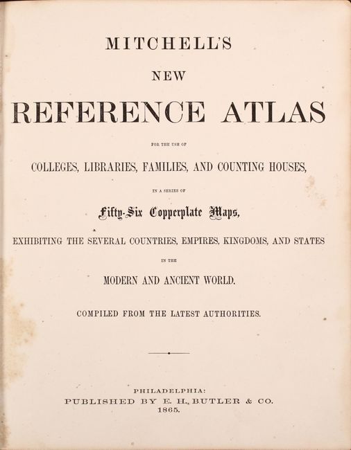
Publication:
Color: Hand Color
Size:
10.4 x 12.6 inches
26.4 x 32 cm
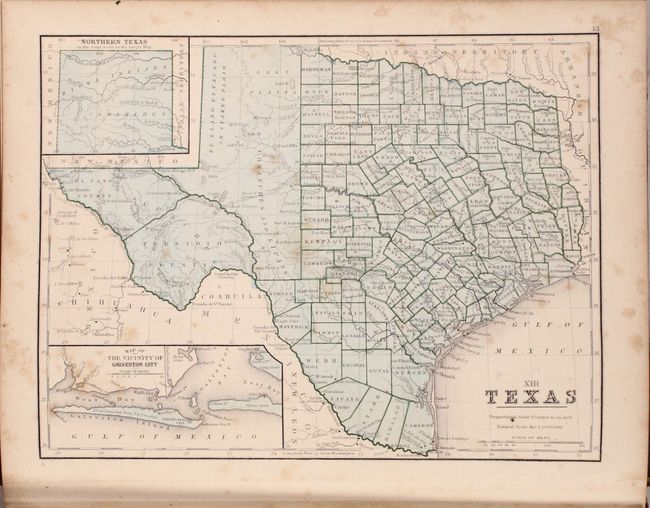
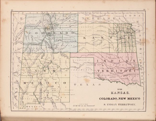
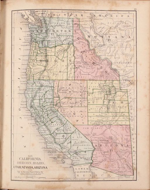
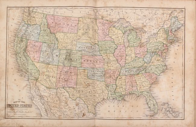
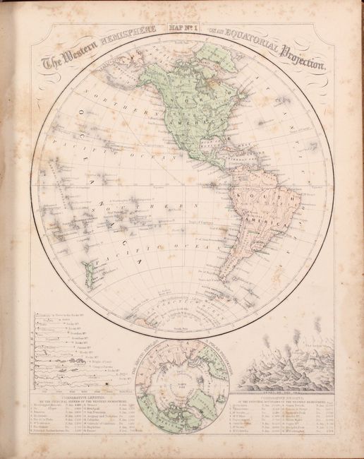
This complete atlas contains 37 single-page maps and 3 double-page maps consisting of the world (2), Americas (20), Europe (6), Asia (3), Africa (1), Australia (1), and the ancient world (7). Of particular interest in the United States is a nice map of Texas showing county development confined to the eastern half, and a map of the western United States showing Arizona in control of the southern tip of Nevada. Following the maps are a series of geographical tables presenting population, principal lakes, rivers, and mountains, agricultural statistics and more. Published by E.H. Butler in Philadelphia. An uncommon issue that we have not seen before.
References: Phillips (Atlases) #847.
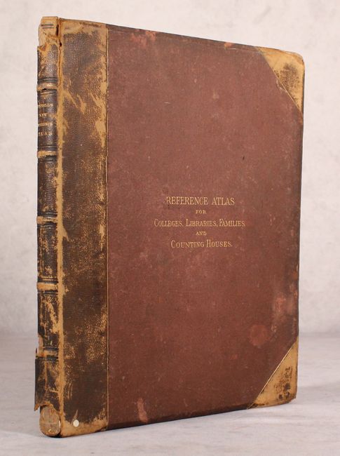
Condition: B
The maps are good with light toning and light to moderate scattered foxing. Covers are moderately worn with chips to the head and tail of the spine. Back hinge is starting to separate.