Subject: Atlases
Period: 1856 (circa)
Publication:
Color: Hand Color
Size:
10 x 13.8 inches
25.4 x 35.1 cm
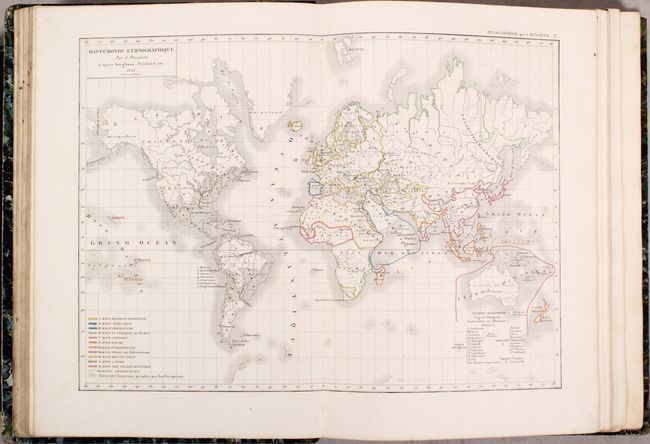
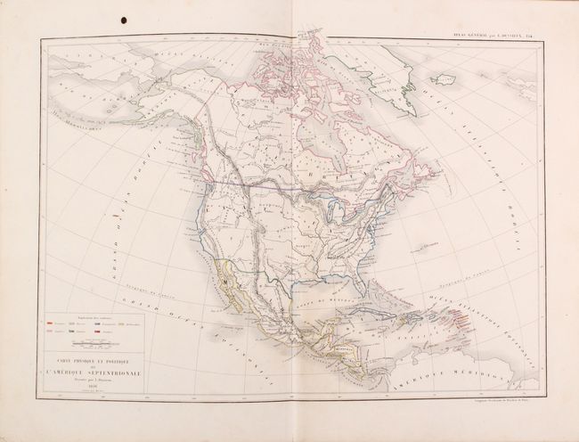
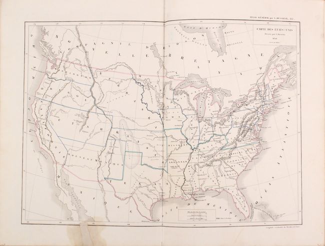
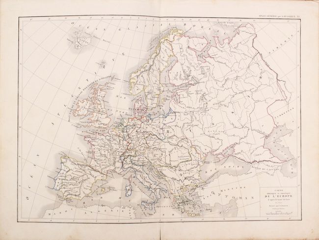
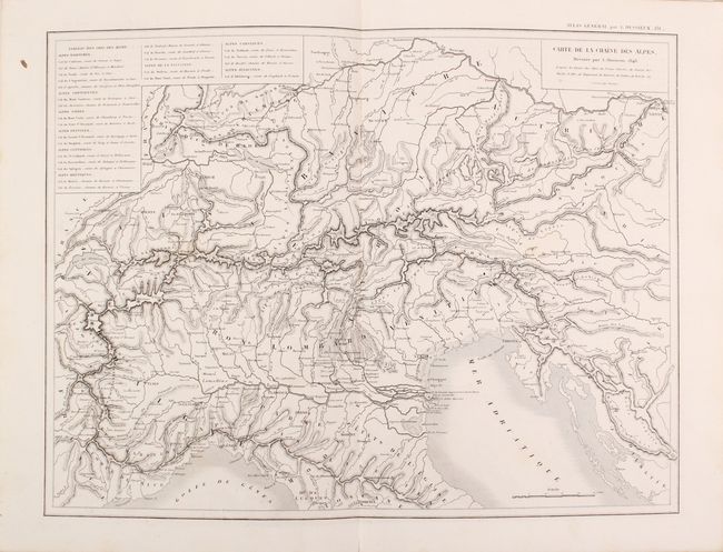
This comprehensive and complete French atlas includes both ancient and modern maps. The 132 total maps consist of 76 double-page maps, 55 single-page maps, and one folding map of France. The modern maps are dated 1845 to 1856. The celestial plates and a number of others are uncolored, but the majority are in original outline color. The map of the United States features early western configurations including large Utah, New Mexico, and Nebraska territories. Kansas Territory is in an odd shape and includes Indian Territory. The map of North America is dated 1856 but clearly shows pre-Fremont mapping in the west. The entire southwest and Texas is a region labeled as "Forests." Folio, hardbound in quarter green leather over marbled boards with gilt title on spine.
References:
Condition: B+
The maps range from good to near fine with the vast majority being very good. Overall, there is occasional light scattered foxing and/or light toning. The folding map of France has numerous fold separations, there is a small stain and repaired edge tear on the recto of the U.S. map, and the map of modern Europe is loose. Covers are worn primarily along the edges and joints.