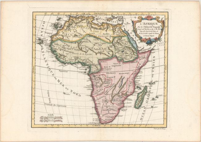
Subject: Africa
Period: 1778 (circa)
Publication: Nouvel Atlas Portatif
Color: Hand Color
Size:
11 x 9.4 inches
27.9 x 23.9 cm
This handsome map of Africa locates the source of the Nile at Lake Dambea. There is some nice topographical detail, but place names are largely confined to the coasts. The central areas of the continent are mostly devoid of detail. Several tribes are identified throughout. Engraved by E. Dussy, with a decorative title cartouche by Arrivet. This is the second state, with no date or imprint, published by Fortin.
References: Pedley #427.
Condition: A
A nice impression on a bright, watermarked sheet with a pair of infilled worm tracks at top with a minute loss of the border and faint damp stains in the blank margins.


