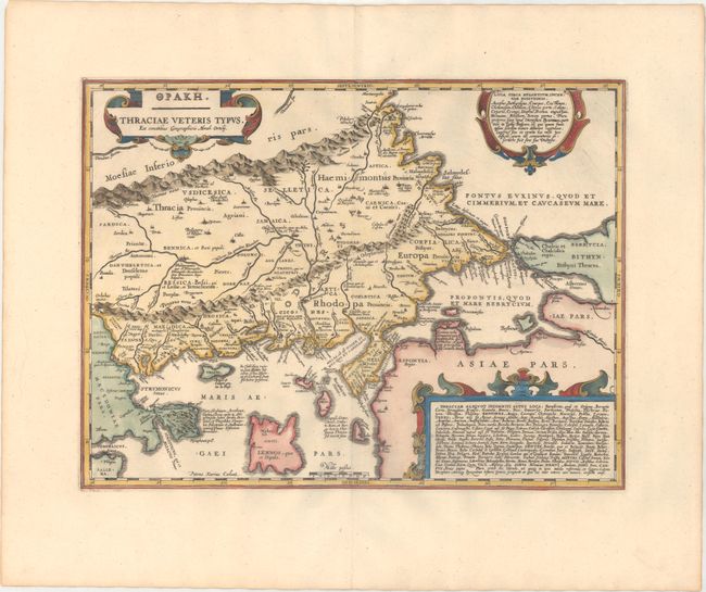
Subject: Northeastern Greece & Northwestern Turkey
Period: 1741 (published)
Publication: Description Exacte de l'Univers, ou l'Ancienne Geographie Sacree et Profane
Color: Hand Color
Size:
18.8 x 14 inches
47.8 x 35.6 cm
This is a close copy of Abraham Ortelius' map of the same title, with redesigned cartouches. This dramatic map of ancient Thrace is derived from Gastaldi's 1560 map and information from numerous ancient sources. A portion of the Black Sea, the Sea of Marmara, and Thrakikon Pelagos are shown. Three decorative strapwork cartouches make this a handsome map. Beautifully engraved by Pieter van den Keere, one of the most important engravers of the period. Blank verso, published in Pieter de Hondt's Description Exacte de l'Univers, ou l'Ancienne Geographie Sacree et Profane, a French edition of Georgius Hornius' Accuratissima Orbis Antiqui Delineatio, which included maps from Johannes Jansson's historical atlas and Abraham Ortelius' Parergon.
References: Van der Krogt (Vol. I) #7760H:1; Zacharakis #1130 (b).
Condition: A
A sharp impression on a clean, bright sheet with minor toning along the edges of the sheet.


