Catalog Archive
Auction 171, Lot 542

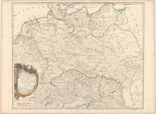
"Germania Antiqua in Quatuor Magnos Populos, in Minores et Minimos Distincta; et Regiones Danubium Inter et Mare Adriaticum Contentae", Robert de Vaugondy, Didier
Subject: Eastern Europe, Germany

Period: 1768 (circa)

Publication: Atlas Universel

Color: Hand Color

Size:
22.8 x 18.8 inches
57.9 x 47.8 cm
Download High Resolution Image
(or just click on image to launch the Zoom viewer)

This finely engraved map illustrates the geographical regions of Europe that, in ancient times, were east of Gaul and outside of Roman control. It extends from eastern France through Poland and from the North Sea to the Adriatic. It shows the various tribes, towns, and ancient divisions of the region. This is the second state with the date removed from the title and the engraver imprint changed from Elisabeth Haussard to Groux.

References: Pedley #247.

Condition: A

A bright sheet of watermarked paper with contemporary outline color in the map and later color in the cartouche. There is light toning along the edges of the sheet.

Estimate: $140 - $180

Unsold

Closed on 2/6/2019

Archived