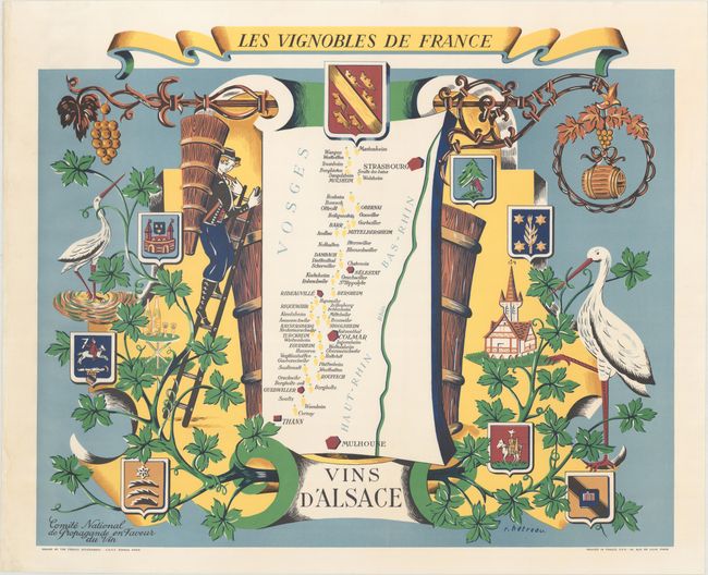
Subject: Alsace, France
Period: 1954 (circa)
Publication:
Color: Printed Color
Size:
29.4 x 24.1 inches
74.7 x 61.2 cm
This bright pictorial map by Remy Hetreau showcases the Alsace region in eastern France. It was part of a series of 11 maps commissioned by the Comite National de Propagande en Faveur du Vin, a governmental agency tasked with promoting French wines. The map itself is simple and elegant, identifying some major towns and cities, the Rhine, and several vineyards, which are represented by yellow bunches of grapes. Several decorative elements surround the map, including grapevines, coats-of-arms, storks, a chateau, and a grape harvester with a conical wicker basket strapped to his back.
References:
Condition: A
A few minor extraneous creases in the top blank margin, otherwise fine.


