Subject: Southern France, Provence
Period: 1680 (circa)
Publication:
Color: Hand Color
Size:
19.5 x 14.8 inches
49.5 x 37.6 cm
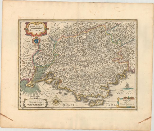
This striking map of Provence in southern France is fully engraved with hundreds of place names and adorned with three decorative cartouches, including one enclosing the title that features an animal's face, crown, and fleur-de-lis. The map is dense with graphic depictions of mountains, forests, and towns and cities. The Rhone and Durance Rivers are meticulously mapped, with even the marshy area at the mouth of the Rhone noted. In the Mediterranean, there is a sailing ship and a compass rose capped with a fleur-de-lis. This example has a blank verso and is not specifically listed in Van der Krogt. Published in a composite atlas with maps from De Wit, Blaeu, Visscher, and others.
References: Van der Krogt (Vol. I) #4700:1B.2.
Condition: B+
There is faint scattered foxing with short centerfold separations confined to the top and bottom blank margins.


