Catalog Archive
Auction 171, Lot 498

"Carte Topographique du Diocese de Senlis...", Delisle, Guillaume

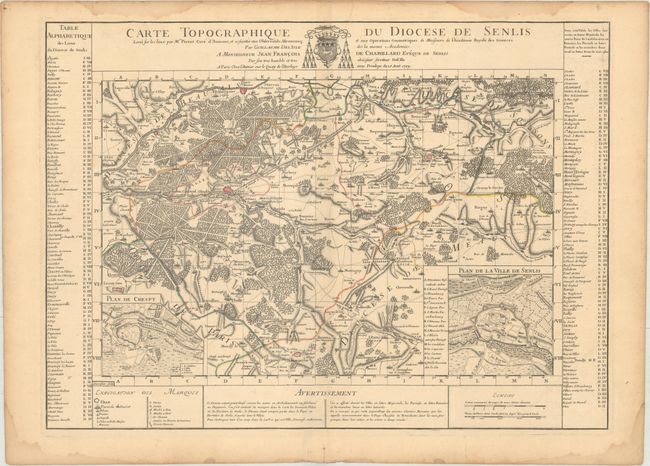
Subject: Northern France

Period: 1709 (dated)

Publication:

Color: Hand Color

Size:
25.5 x 18.6 inches
64.8 x 47.2 cm
Download High Resolution Image
(or just click on image to launch the Zoom viewer)

Beautifully engraved map of the region just north of Paris includes le Plessis Belleville, Dammartin, Lusarche, Creil, and Crespy en Valois. Detailed to show many villages, towns, roads and even individual trees to indicate forests. With two insets: Plan de Crespy and Plan de la Ville de Senlis. Surrounded by extensive tables keyed to map.

References:

Condition: A

A nice impression on watermarked paper with original outline color and a hint of toning along the centerfold. There is light toning and several damp stains along the edges of the sheet.

Estimate: $200 - $230

Unsold

Closed on 2/6/2019

Archived