Catalog Archive
Auction 171, Lot 429

"Europe, Drawn and Engraved from the Best Maps and Charts", Kitchin, Thomas
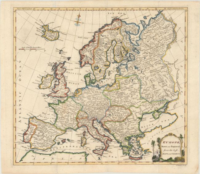
Subject: Europe

Period: 1772 (circa)

Publication: A New System of Geography...

Color: Hand Color

Size:
14.5 x 13.1 inches
36.8 x 33.3 cm
Download High Resolution Image
(or just click on image to launch the Zoom viewer)

A detailed map of Europe showing large Polish, Ottoman, and Russian empires. Adorned with a lovely seaside cartouche. Published in Daniel Fenning's A New System of Geography between 1772-87.

References: McCorkle (18th C. Geography Books) #108, Vol. II [1].

Condition: A

Issued folding, now flattened, with a faint stain in France and archival repairs to minor fold separations at top.

Estimate: $200 - $230

Sold for: $150

Closed on 2/6/2019

Archived