Subject: Southern South America
Period: 1705 (published)
Publication: Algemeene Weereld-Beschryving...
Color: Hand Color
Size:
9.4 x 7.5 inches
23.9 x 19.1 cm
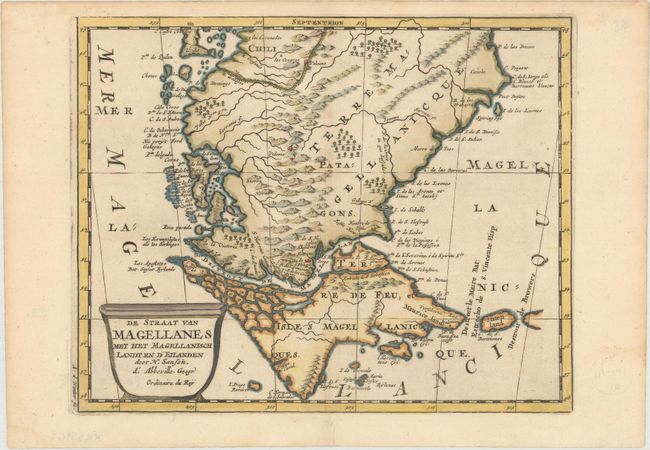
A charming small map of Tierra del Fuego showing both the Strait of Magellan and Le Maire Strait. Inland detail is confined to a mountain range and several rivers, and the mythical Destroit de Browers is labeled at far right. Adorned with a decorative title cartouche. Engraved by Antoine d'Winter.
This map appeared in Algemeene Weereld-Beschryving, nae de Rechte Verdeeling der Landschappen, Plaetsen, Zeeën, Rivieren, &c. Geographisch, Politisch, Historisch, Chronologisch en Genealogisch, a Dutch edition of A. Phérotée de la Croix's Nouvelle Methode Pour Apprendre Facilement la Geographie Universelle, which first appeared in 1690. The Dutch edition was published by Francois Halma and included 98 maps and views.
References:
Condition: A
A crisp impression on watermarked paper with light toning along the edges of the sheet.


