Subject: Central South America
Period: 1822 (circa)
Publication: A Complete Historical, Chronological, and Geographical American Atlas
Color: Hand Color
Size:
9.1 x 13 inches
23.1 x 33 cm
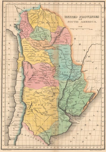
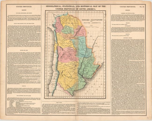
This map centers on the United Provinces of the Rio de la Plata, comprised of present-day Bolivia, Paraguay, Uruguay, and Argentina. The United Provinces formed in the wake of the May Revolution of 1810, when the people of Buenos Aires forced out the Spanish viceroy. The map is divided into eight "intendancies" with towns, cities, rivers, and the Andes also located. The Great Plains or Pampas are shown in the southern part of the Cordova province, with Patagonia visible below. A note between the Quinto, Cuarto, and Saladillo rivers reads, "Those Rivers communicate during inundations." The map is on a full folio sheet (20.8 x 16.4") and is surrounded by text describing the region's topography, climate, population, history, and more. Drawn by James Finlayson and engraved by Young and Delleker.
References:
Condition: B
Light toning along the centerfold with short separations at top and bottom that have been closed on verso with cello tape. Two edge tears at top just enter the map border.