Catalog Archive
Auction 171, Lot 347
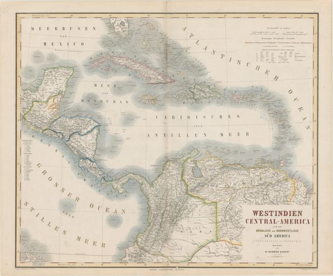
"Westindien Central-America und das Nordliche und Nordwestliche Sud America Nueva Granada und Venezuela", Kiepert, Heinrich C.

Subject: Caribbean, Central America & Northern South America
Period: 1870 (circa)
Publication: Hand - Atlas Der Erde Und Des Himmels...
Color: Hand Color
Size:
24.6 x 20.8 inches
62.5 x 52.8 cm
Download High Resolution Image
(or just click on image to launch the Zoom viewer)
(or just click on image to launch the Zoom viewer)

