Subject: Virginia
Period: 1915 (circa)
Publication:
Color: Printed Color
Size:
25.8 x 18.9 inches
65.5 x 48 cm
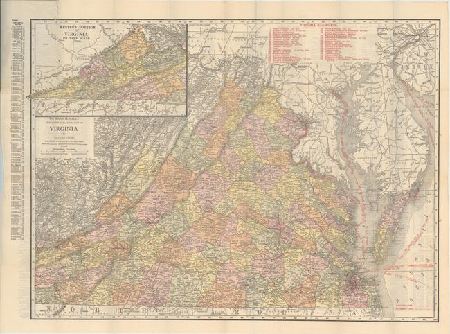
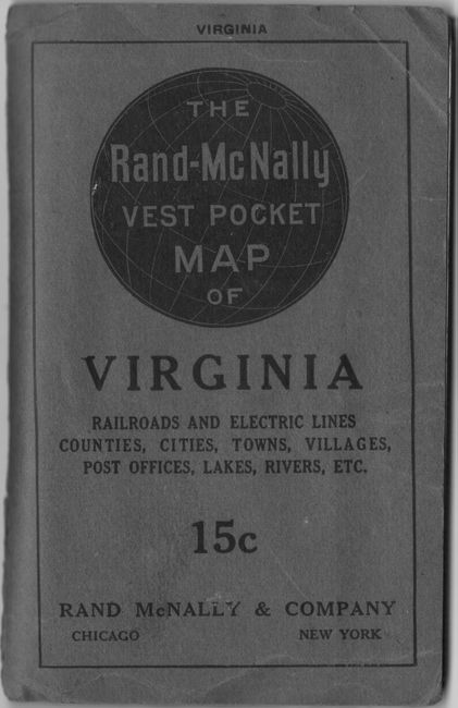
This detailed map of the state is delineated by county with an inset on the same scale showing the southwestern portion of the state. 37 railroads are highlighted in red overprinting throughout the state and are keyed to a table at top. Several steamship routes are also depicted in the Chesapeake and Delaware bays. The verso contains a detailed index which is continued on another sheet. Includes 8 pages of advertisements, and folds into gray paper wrappers (3.9 x 6.1").
References:
Condition: A
Issued folding with several tiny splits at fold intersections. A short edge tear that just touches the border at top left has been closed on verso with archival tape. Covers have minor wear.