Catalog Archive
Auction 171, Lot 289

"No. 13 Map of the State of Texas Engraved to Illustrate Mitchell's. School and Family Geography", Mitchell/Young
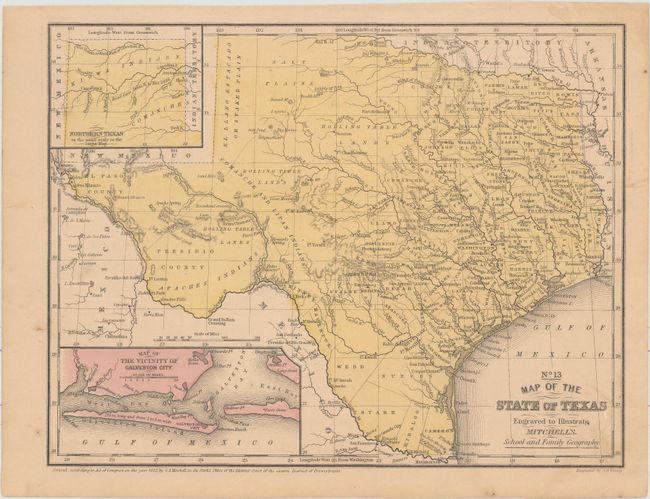
Subject: Texas

Period: 1852 (dated)

Publication: Mitchell's School and Family Geography

Color: Hand Color

Size:
10.6 x 8.1 inches
26.9 x 20.6 cm
Download High Resolution Image
(or just click on image to launch the Zoom viewer)

Fine map of Texas filled with a remarkable amount of information for a school atlas map. Details include Indian tribes, watershed, counties, cities and towns, wagon roads or trails, and more. The Salt Plains lay to the east of the Staked Plain, and much of central Texas is labeled Rolling Table Lands. The hills are shown through hachure. With insets of the panhandle and the vicinity of Galveston. The county development is consistent with 1856, with several newly organized counties including El Paso, Kerr, Atascosa, Brown, and more. Engraved by J.H. Young.

References:

Condition: B+

On a lightly toned sheet with faint soiling and a minor damp stain that just enters the neatline at top right.

Estimate: $120 - $150

Sold for: $75

Closed on 2/6/2019

Archived