Subject: Vicksburg, Mississippi
Period: 1863 (published)
Publication: The Illustrated London News
Color: Black & White
Size:
9.3 x 11.1 inches
23.6 x 28.2 cm
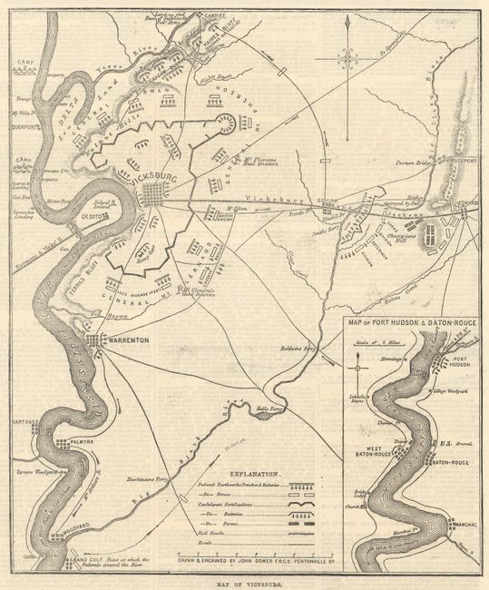
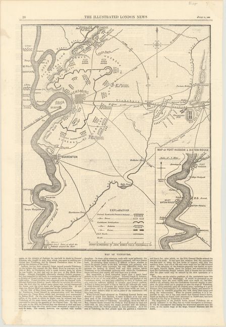
This battle plan was published in the July 11, 1863 issue of the Illustrated London News. It details troop positions and movements including McPherson's Head Quarters, Smith's Division, Lindsey's Brigade and McClelland's Head Quarters, where the Federals crossed the River and more. Locates Haines Bluff, Chickasaw Bluff, the Walnut Hills, etc. A legend further describes Federal Earthworks, Trenches & Batteries; Confederate Fortifications, Batteries and forces; Rail Roads; and Roads. Includes the inset "Map of Port Hudson & Baton-Rouge." The full sheet also contains over 45 column inches of text on the war including General War News, The Last Assault on Port Hudson, and the Siege of Vicksburg. On a sheet of text measuring 10.9 x 16.0".
References:
Condition: A
There is a bit of printer's ink residue, otherwise fine.