Subject: Colorado
Period: 1881 (published)
Publication:
Color: Printed Color
Size:
20.3 x 26.9 inches
51.6 x 68.3 cm
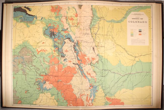
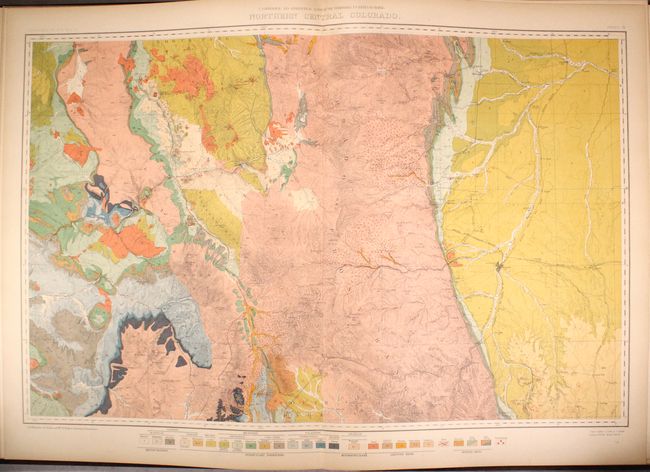
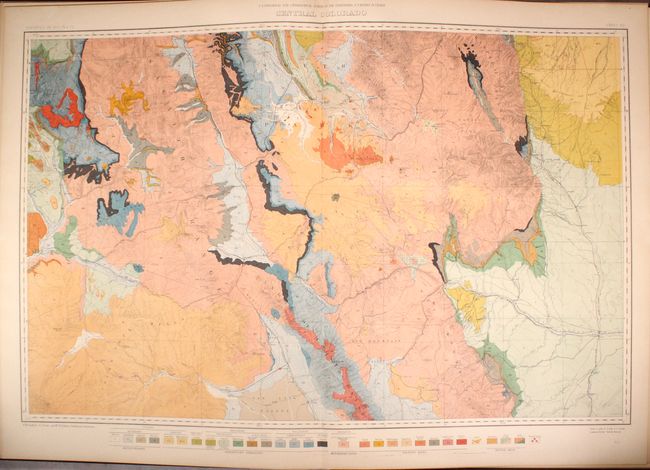
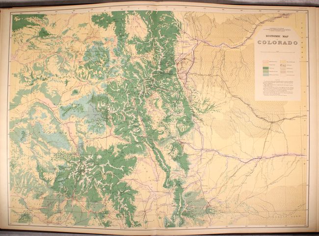
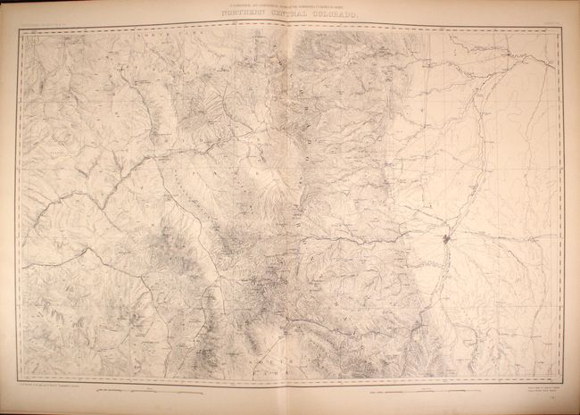
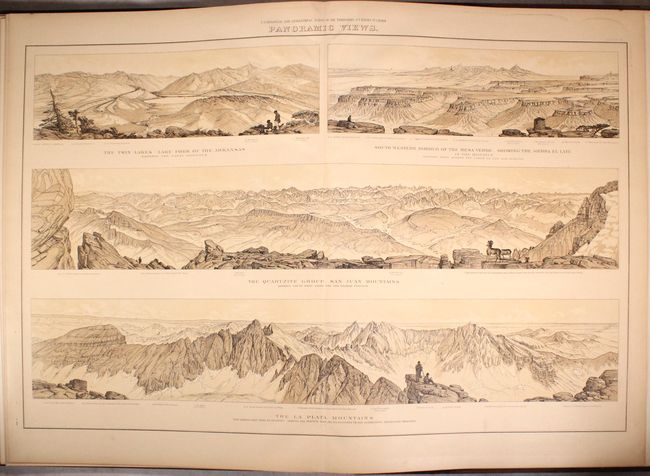
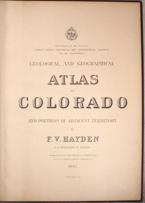
First published in 1877, Hayden's Geological and Geographical Atlas of Colorado was, according to Wheat, "the highest expression of the labors of the Hayden Survey in Colorado" and is the visual result of the monumental field work that was completed from 1873 through 1876, covering the entire State of Colorado and adjacent portions of Utah, Arizona and New Mexico. This is the updated 1881 edition, which shows completed and projected railroads. This example is complete with the 20 issued double-page maps. The first four maps cover the entire state of Colorado (triangulation, drainage, economic and geological) on a scale of 12 miles per inch. The next 12 are topographical and geological maps of identical regional areas on a scale of 4 miles per inch. The maps are followed by two geological sections and two sheets of beautifully rendered panoramas from around the state including Pike's Peak, Sawatch Range, Elk Mountains, the San Juans and La Plata Mountains. Rich with detail, Hayden’s map are considered the best mapping of the period and laid the foundation for the mapping of Colorado. Lithographed by Julies Bien. Maps measure approximately 35 x 22.5".
References: Wheat (TMW) #1281.
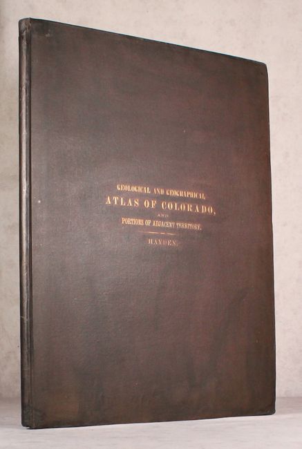
Condition: A
The maps have minor marginal toning and the title page has light soiling. The front free-endpaper has a number of tears and creases, some of which have been closed with tape. The front hinge is starting and the covers show light wear with small repairs at the base of the spine and in the corners of the covers. A beautifully preserved example of this important atlas.