Subject: Bay Area, California
Period: 1939 (circa)
Publication:
Color: Printed Color
Size:
8.9 x 11.9 inches
22.6 x 30.2 cm
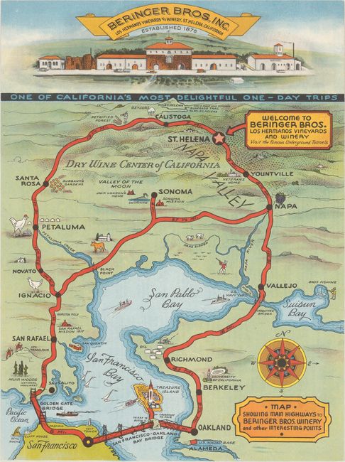
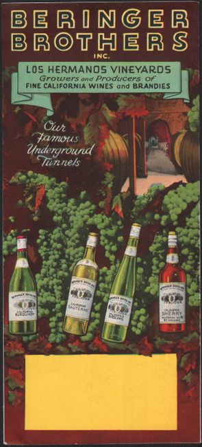
This delightful map of the Bay Area appears in a pamphlet promoting the Beringer Brothers Winery in St. Helena. It shows San Francisco, San Pablo, and Suisun bays and traces various routes to the winery. San Francisco, Oakland, Berkeley, Sonoma, and Petaluma are among the cities located along the highways. Illustrations of the Golden Gate Bridge, Seal Rocks, Muir Woods, the University of California, Berkeley, Treasure Island, the Petrified Forest, and much more decorate the region. A vignette of the winery spans the top of the map, and a compass rose adorns the bottom right corner. The pamphlet's cover showcases "our famous underground tunnels" and includes some recipes. These pamphlets were distributed at the 1939 Golden Gate Exposition on Treasure Island by winemaker Fred Abruzzini, who helped operate Beringer Brothers Winery from 1932-56 and is credited with being one of the first to promote Napa Valley as a tourist attraction.
References:
Condition: A
Near fine.


