Subject: Southwestern United States, Las Vegas
Period: 1936-66 (circa)
Publication:
Color: Printed Color
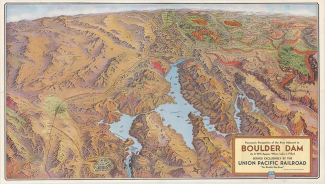
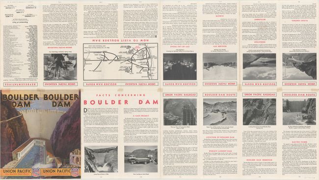
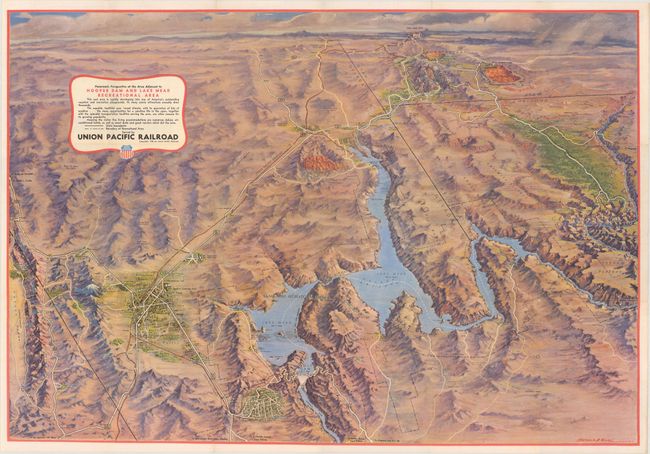
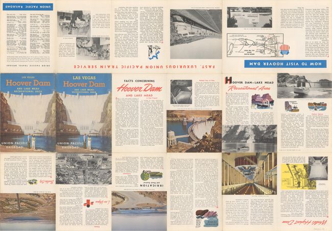
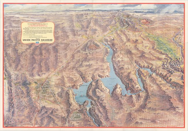
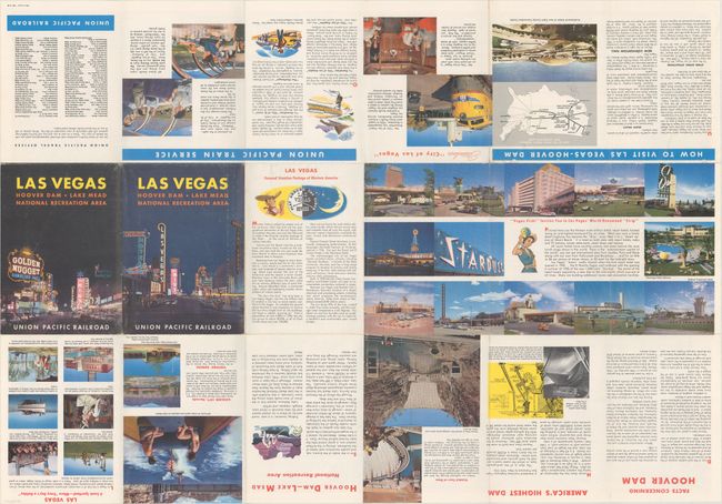
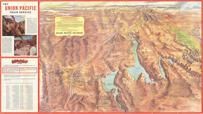
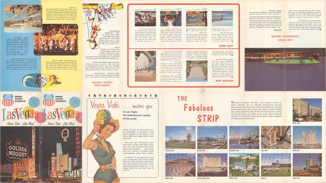
A fascinating collection of birds-eye views of the greater Las Vegas - Lake Mead area showing the growth of Las Vegas over a thirty year period. These colorful, self-folding maps were used for advertising and publicity and cover the region serviced by the Union Pacific Railroad from Salt Lake City (shown on the distant horizon) down to Boulder City. The maps include the Grand Canyon, the National Parks of Bryce and Zion, Cedar Breaks Nat. Monument, and more. The versos are filled with information for the tourist.
The 1936 map shows access to Las Vegas only by the Union Pacific railroad and the Arrowhead Trail road, with an unnamed Lake Mead. The 1948 map has Lake Mead named, Arrowhead trail has become Route 91/93 and Route 95 now leads north towards Death Valley. The 1958 map shows the continuing growth of Las Vegas and the first appearance of a mushroom cloud at Yucca Flats (starting in the 1950s, atom tests became a big tourist attraction). The 1966 map has I-15 replacing Route 91/93.
A. Panoramic Perspective of the Area Adjacent to Boulder Dam As It Will Appear When Lake Is Filled, by Gerald A. Eddy, dated 1936 (30.2 x 16.9").
B. Panoramic Perspective of the Area Adjacent to Hoover Dam and Lake Mead Recreational Area, by Gerald A. Eddy, dated 1948 (30.3 x 20.9").
C. Panoramic Perspective of the Area Adjacent to Las Vegas - Hoover Dam and Lake Mead National Recreation Area, by Gerald A. Eddy, dated 1958 (30.1 x 20.8").
D. Panoramic Perspective of the Area Adjacent to Las Vegas - Hoover Dam and Lake Mead National Recreation Area, by Gerald A. Eddy, circa 1966 (25.6 x 17.6").
References:
Condition: B+
Overall clean and colorful with a few tiny splits at fold intersections that have been closed on verso with archival materials.


