Subject: Western United States
Period: 1855 (dated)
Publication: U.S. Pacific Railroad Surveys
Color: Black & White
Size:
23.2 x 31.1 inches
58.9 x 79 cm
A matched set of three maps (of a series of four maps) that are seldom seen or offered together. Map No. 1 details the proposed routes across the territories of Missouri and part of Kansas. Three proposed railroad routes are shown and named. The North Missouri R.R. heads north from above Washington on the Missouri River. The Pacific R.R. follows the Missouri R. to Jefferson City then on to Independence where it reconnects with the Missouri and then moves upstream along the Kansas River. The South West Branch heads southwest to Springfield and beyond (23.5" x 31").
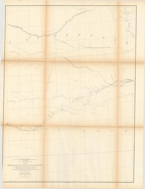
Map No. 2 details the proposed routes across the territories of Kansas and Nebraska. [1] Leaving the Missouri R. at Kansas and following the Pawnee Republican Fork, [2] Leaving the Missouri R. at St. Joseph westward to the Republican River, [3] Leaving the Missouri R. at Council Bluffs westward along the Platte River (23" x 31.5").
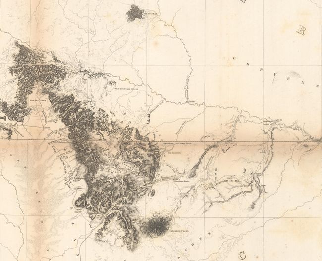
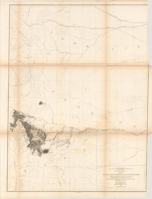
The third map in this series shows the proposed routes across parts of New Mexico and today's Colorado. Details along the route surveyed include watershed and topographical via fine hachure. Locates North, Middle and South Parks, Cheyenne Pass, Saint Vrain's Fort, Pikes Peak and more (23.7" x 31.5").
References: Wheat (TMW) #843, 844, and 845.
Condition: B
Issued folding with light to moderate toning along the folds, short separations at fold intersections, and minor foxing. Map #2 has been trimmed just inside the neatline at bottom left. Map #3 has light, scattered foxing and a bit of offsetting.


