Catalog Archive
Auction 171, Lot 160
NO RESERVE
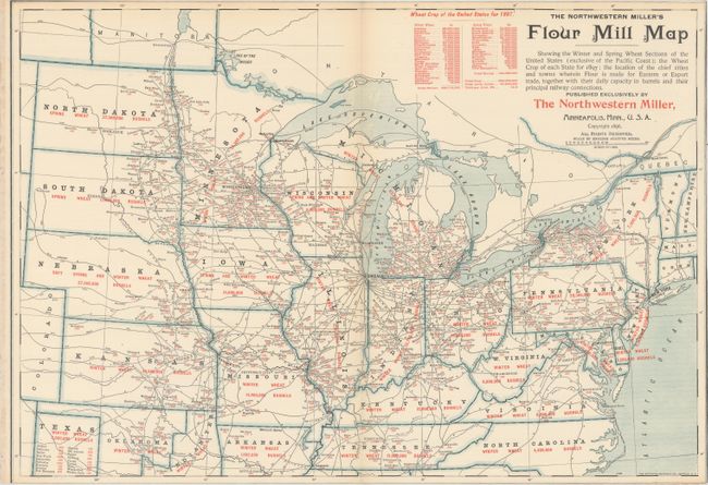
"The Northwestern Miller's Flour Mill Map Showing the Winter and Spring Wheat Sections of the United States (Exclusive of the Pacific Coast)...", Matthews-Northrup Co

Subject: Eastern United States
Period: 1896 (dated)
Publication:
Color: Printed Color
Size:
19.9 x 13.8 inches
50.5 x 35.1 cm
Download High Resolution Image
(or just click on image to launch the Zoom viewer)
(or just click on image to launch the Zoom viewer)

