Subject: North America
Period: 1826 (dated)
Publication:
Color: Hand Color
Size:
16.7 x 20.9 inches
42.4 x 53.1 cm
Finely's maps employ a delicate and elegant engraving style and provided extensive topographical and watershed information. He was the dominant map maker in the United States in the early 1820s into the 1830s. His atlases were very successful, outselling rival atlases by Carey & Lea, and Tanner. His maps were printed on high quality paper and were routinely corrected and updated.
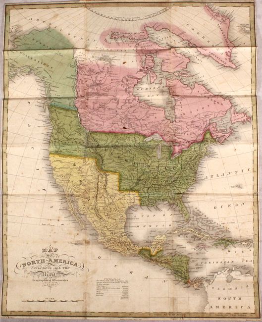
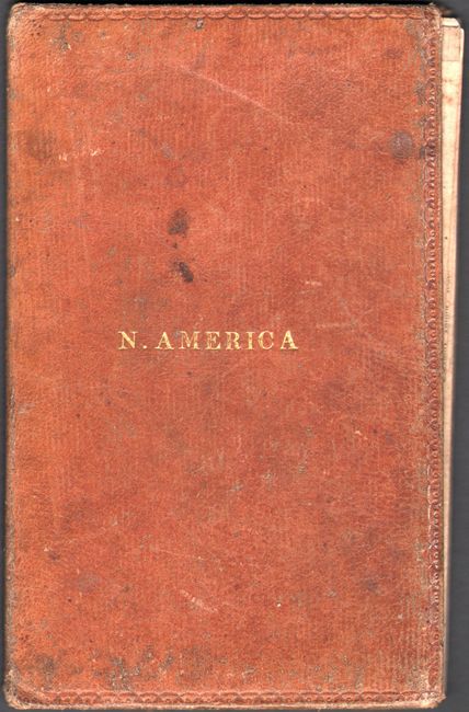
This uncommon, early pocket map of the continent shows the United States' claims well into British Columbia, with Russian possessions directly to the north and continuing through Alaska. A huge Missouri Territory extends beyond the Rockies to include Oregon and Washington. Mexico is in control of Texas, California, and the Southwest. Lake Timpanogosis large and extends into Snake Indian territory in today's Idaho. L. Salado is the source of the Buenaventura River that flows into the Pacific at San Francisco, here called the Bay of Sir. Fs. Drake. Drawn by D.H. Vance and engraved by J.H. Young. Folds into leather boards (3.7 x 6.0") with gilt title on front cover.
References: cf. Wheat (TMW) #368; cf. Phillips (Maps) p. 600.
Condition: B
Original color with light scattered foxing. There are old tape repairs on verso to several small fold separations, with some light staining visible on recto.